


Martigny - Courmayeur: Von Martigny (474m) aus in Richtung Großer St. Bernhard - Les Valettes (626m) - auf schmalem Teersträßchen hoch zum Lac de Champex (1466m) - Abfahrt nach Som la Proz im Val Ferret (968m) - La Fouly - Ferret (1700m) - bis Ende der Talstraße, dann rechts über die Brücke und hoch zur Alm Peule - von hier aus hoch zum Grand Col Ferret (2537m) mit fantastischem Blick auf Mont-Blanc-Südseite - Abfahrt zum Rif. Elena (2062m) und weiter nach Courmayeur (1224m)
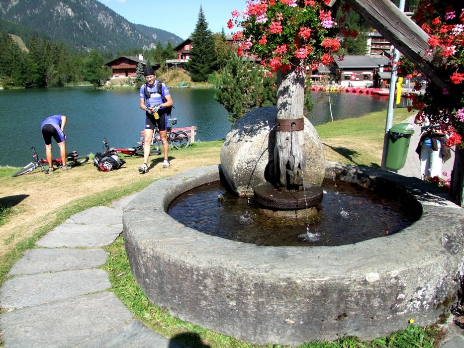
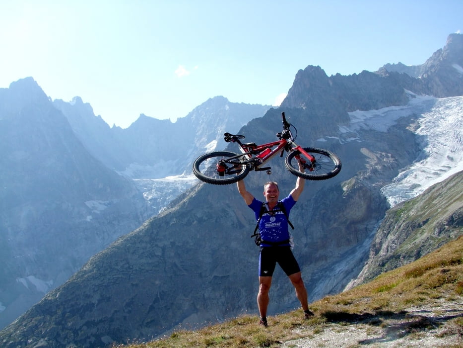
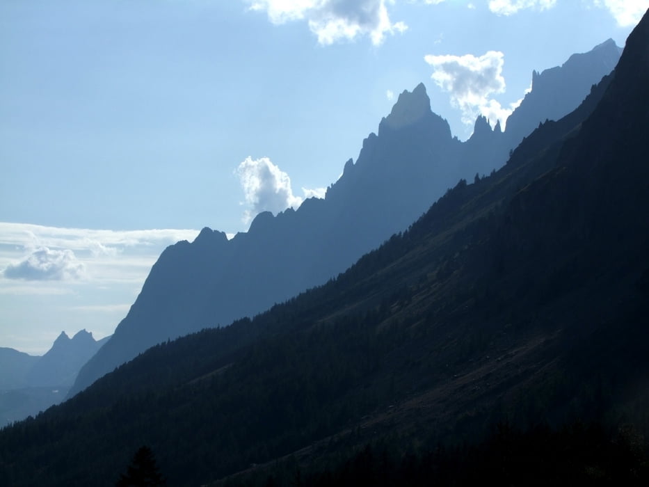
Tour gallery

Tour map and elevation profile
Minimum height 569 m
Maximum height 2540 m
More about the tour author
|
|
rockydoc |
Comments

GPS tracks
Trackpoints-
GPX / Garmin Map Source (gpx) download
-
TCX / Garmin Training Center® (tcx) download
-
CRS / Garmin Training Center® (crs) download
-
Google Earth (kml) download
-
G7ToWin (g7t) download
-
TTQV (trk) download
-
Overlay (ovl) download
-
Fugawi (txt) download
-
Kompass (DAV) Track (tk) download
-
Track data sheet (pdf) download
-
Original file of the author (gpx) download
More about the tour author
|
|
rockydoc |
Add to my favorites
Remove from my favorites
Edit tags
Open track
My score
Rate