


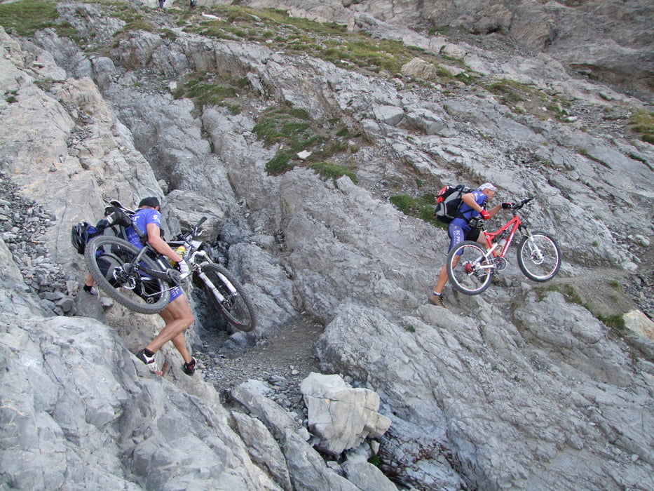
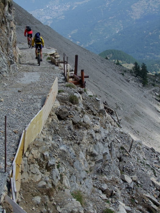
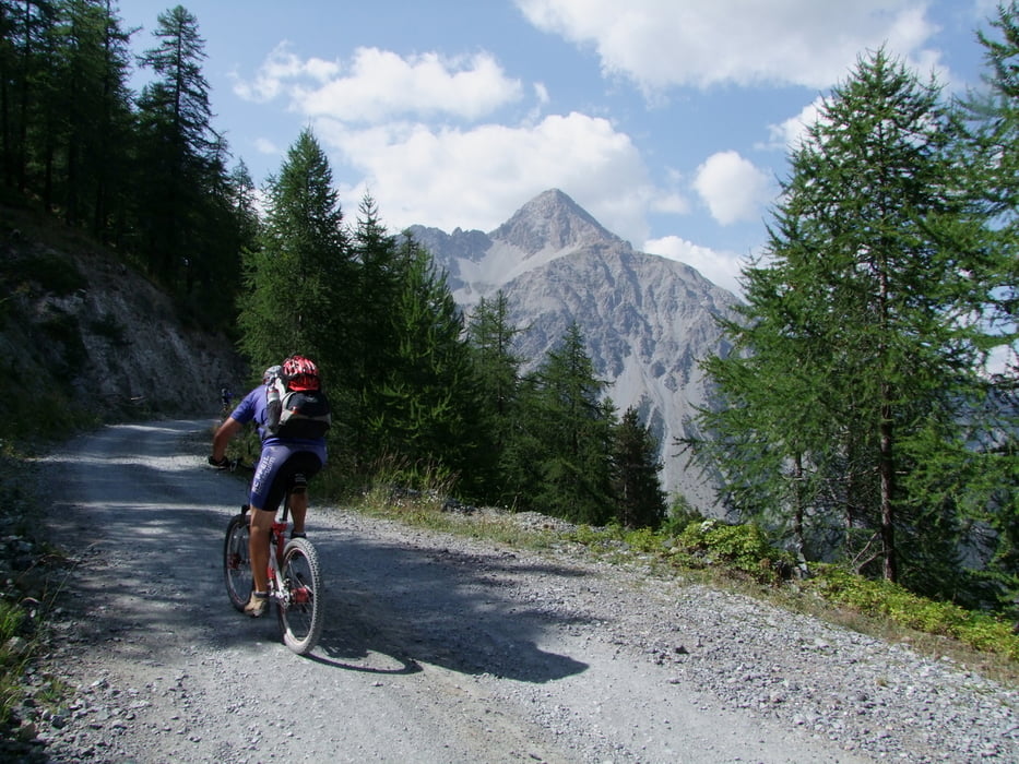
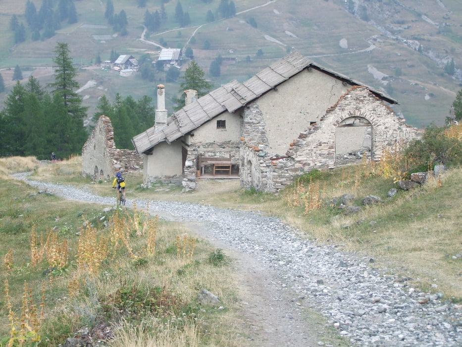
Montgenevre - Thures: Montgenevre (1850m) - auf GR5 nach Norden ins Tal westl. des Mt. Chaberton - an Alm re abzweigen auf mark. Wanderweg und steil hoch (Schieben und Tragen) zum Col de Chaberton (2671m) - auf gutem Weg hoch zum Gipfel (3136m) mit tollem Ausblick nach allen Seiten - Abfahrt zum Col - weitere Abfahrt nach Osten auf mark. Weg hinunter nach Fenils (1276m) - Auffahrt nach S nach Cesana Torinese (1344m) - weiter in Richtung Montgenevre - ca. nach 1km li abbiegen auf gut fahrbarem Waldweg hoch nach Sagha Longa (1995m) - Lago Nero - li ab und hinauf auf Sattel südl. des Mt. Corbioun (2410m) - auf Ostflanke wieder hinab nach Chabaud - Rhuilles - Thures (1695m)
Tour gallery
Tour map and elevation profile
Minimum height 1289 m
Maximum height 3140 m
More about the tour author
|
|
rockydoc |
Comments

GPS tracks
Trackpoints-
GPX / Garmin Map Source (gpx) download
-
TCX / Garmin Training Center® (tcx) download
-
CRS / Garmin Training Center® (crs) download
-
Google Earth (kml) download
-
G7ToWin (g7t) download
-
TTQV (trk) download
-
Overlay (ovl) download
-
Fugawi (txt) download
-
Kompass (DAV) Track (tk) download
-
Track data sheet (pdf) download
-
Original file of the author (gpx) download
More about the tour author
|
|
rockydoc |
Add to my favorites
Remove from my favorites
Edit tags
Open track
My score
Rate