


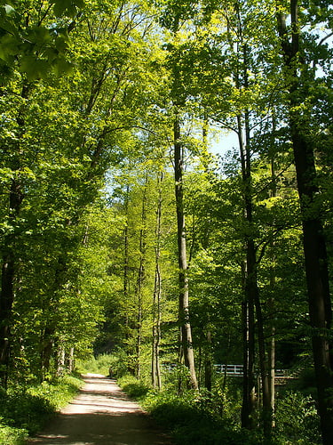
Hier mal ne entspannte Tour, einfach mal zum Radeln, trotzdem nur für Mountainbike geeignet.Leicht bis mittelschwere Runde, teils Waldwege, teils Schotter und Straße und Trails mit kurzen Schiebe- und Tragestücken.
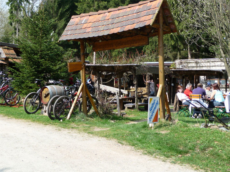
Besonderheiten: Heidemühle - Bademöglichkeit und Imbiss, wunderschöne Wege durch den Wald, schöne Trails (Bahnrundweg), entspanntes biken im Rabenauer Grund an der Weißeritz, mit mehreren Einkehrmöglichkeiten (z.B. Rabenauer Mühle)
Further information at
http://www.hotel-rabenauer-muehle.de/Tour gallery

Tour map and elevation profile
Minimum height 172 m
Maximum height 412 m
More about the tour author
|
|
brozzomd |
Comments
Start und Endpunkt: 01705 Freital, Am alten Bahnhof 5
GPS tracks
Trackpoints-
GPX / Garmin Map Source (gpx) download
-
TCX / Garmin Training Center® (tcx) download
-
CRS / Garmin Training Center® (crs) download
-
Google Earth (kml) download
-
G7ToWin (g7t) download
-
TTQV (trk) download
-
Overlay (ovl) download
-
Fugawi (txt) download
-
Kompass (DAV) Track (tk) download
-
Track data sheet (pdf) download
-
Original file of the author (gpx) download
More about the tour author
|
|
brozzomd |
Add to my favorites
Remove from my favorites
Edit tags
Open track
My score
Rate
schoene tour
sehr schoene und entspannte tour :)
Vielleicht kann man mal was zusammen fahren.
Grüße