


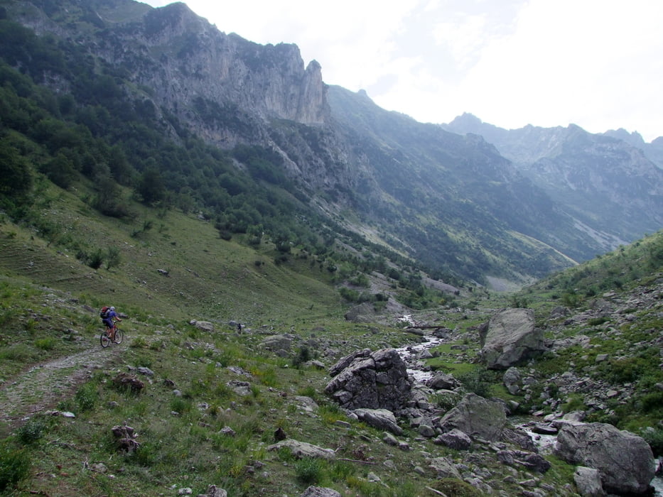
Entraque - Limone Piemonte: Entraque (893m) - Trinita - Gias d' Ischietto (1350m) - hoch ins Vallone del Sabbione bis Gias della Culatta (1896m) - Lago della Vacca - Colle ovest del Sabbione (2328m; bis hierher mehrere Schiebestrecken) - Abfahrt nach Osten auf tollem, mit Steinen markiertem Trail bis Pont de Peyrefique (1915m) - auf der Tenda-Westkammstraße zum Colle di Tenda (1871m) - Abfahrt auf der Tenda-Südrampe bis Straße (1279m) und wieder Auffahrt zum Colle di Tenda (Just for fun!!!) - Abfahrt nach Nordwesten hinunter nach Limonetto und weiter nach Limone Piemonte (1100m)
Tour gallery


Tour map and elevation profile
Minimum height 905 m
Maximum height 2327 m
More about the tour author
|
|
rockydoc |
Comments

GPS tracks
Trackpoints-
GPX / Garmin Map Source (gpx) download
-
TCX / Garmin Training Center® (tcx) download
-
CRS / Garmin Training Center® (crs) download
-
Google Earth (kml) download
-
G7ToWin (g7t) download
-
TTQV (trk) download
-
Overlay (ovl) download
-
Fugawi (txt) download
-
Kompass (DAV) Track (tk) download
-
Track data sheet (pdf) download
-
Original file of the author (gpx) download
More about the tour author
|
|
rockydoc |
Add to my favorites
Remove from my favorites
Edit tags
Open track
My score
Rate