Login

Forgot your login?

Cookies have to be accepted!
Your browser's cookie functionality is disabled. Please enable this functionality.

Not a member yet?

Register now
Login

Available for registred users only

Log in to use this feature.

Forgot your login?

Cookies have to be accepted!
Your browser's cookie functionality is disabled. Please enable this functionality.

Not a member yet?

Register now
Filter
Categories
Advanced filters
  • Distance (km)
  • Height
Save filters Reset filter

TrackRank

QRCode

Technical data

Distance29,1 km Height248 m Way down276 m Duration02:00 h:m Date27.12.2009
Scores Author User Landscape Fun factor Fitness Technique

Statistics

290 Views 1 Score 39 Downloads 2.00 Average
Rate
  • Track data sheet
  • Directions
  • Downloads

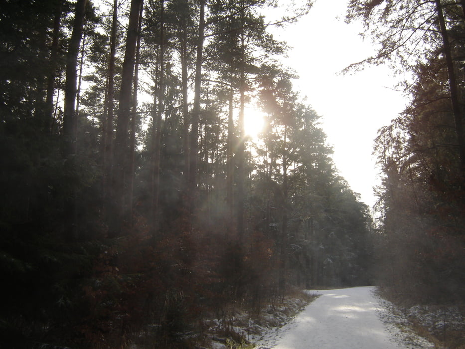
Abgesehen von einigen Eisplatten (Spikes) ist die Tour eine kurze aber schöne Runde.

Tour gallery

Tour map and elevation profile

  • Open Street Map
  • Google
Minimum height 420 m Maximum height 513 m Detailed view

More about the tour author

Klaus B.
Member since 2008

Send private message

Comments

GPS tracks

Trackpoints
  • GPX / Garmin Map Source (gpx) download
  • TCX / Garmin Training Center® (tcx) download
  • CRS / Garmin Training Center® (crs) download
  • Google Earth (kml) download
  • G7ToWin (g7t) download
  • TTQV (trk) download
  • Overlay (ovl) download
  • Fugawi (txt) download
  • Kompass (DAV) Track (tk) download
  • Track data sheet (pdf) download
  • Original file of the author (gpx) download

More about the tour author

Klaus B.
Member since 2008

Send private message
Share track
Add to my favorites
Remove from my favorites
Edit tags
My score
Rate
Track: Weihnachtsausfahrt um Herrieden 09
Type: Mountain bike
Distance: 29,1 km
Evaluated on:
Duration:
Day(s)
Hour(s)
Minute(s)
Score: Landscape Fun factor Fitness Technique