


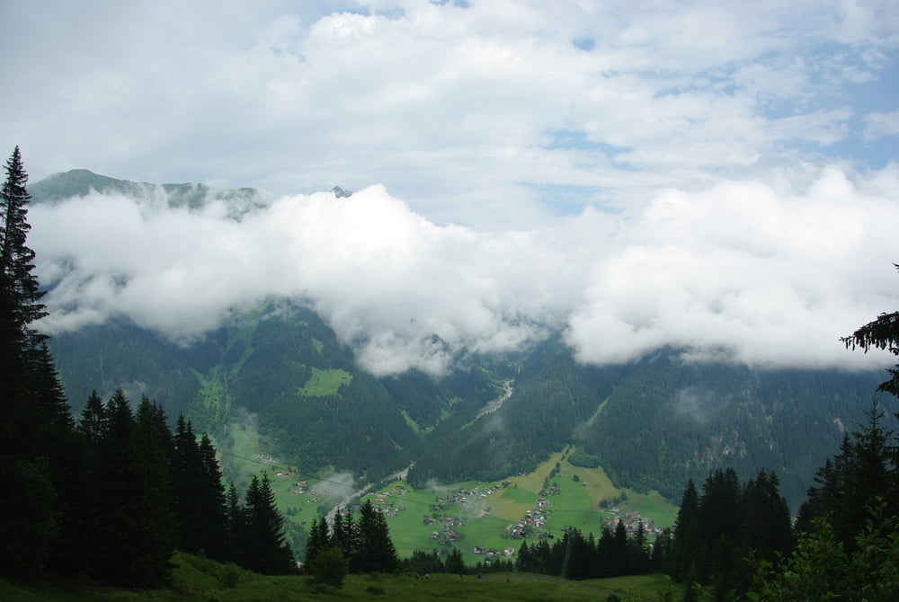
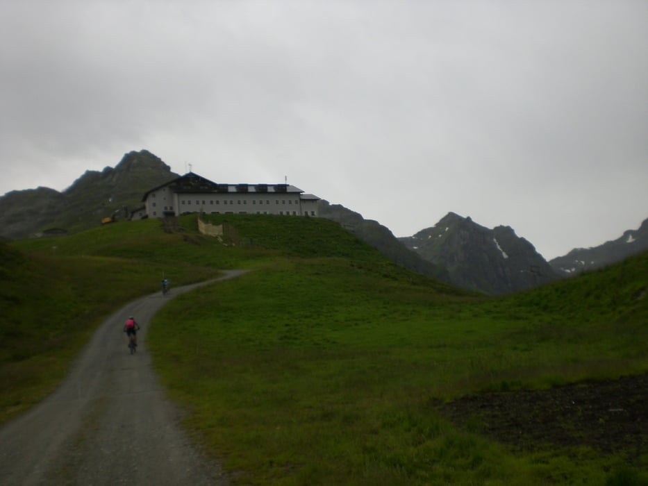
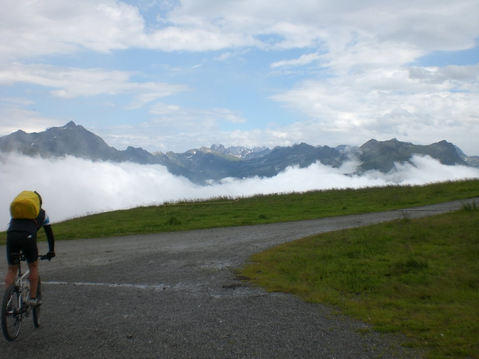
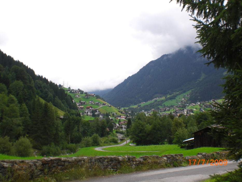
NOVA Stoba Auf den Spuren zahlreicher österreichischer Meisterschaften und internationaler Rennveranstaltungen biken wir vorbei am Alpenhof Garfrescha bis zur Bergstation der Nova Stoba. Ein Abstecher ins hintere Montafon rundet die Tour ab.
Wir starten direkt bei der Talstation der Garfreschabahn in St. Gallenkirch (890m) - Anstieg auf Teerstraße zum Alpenhof Garfrescha (1507m) - Abzweigung ins landschaftlich reizvolle Nova Tal, auf Güterweg entlang dem Vermiel-Bach ansteigend zur Talstation Schwarzköpfle Sessellift (1700m) - links abbiegen und auf sehr steilem Güterweg zur Berstation Nova Stoba (2000m), Einkehr Nova Stoba - Downhill zuerst auf einer Schotterstrasse, dann über einen sehr schön zu fahrenden Singletrail bis zur Mittelstation Rehsee (1480m) - auf Gaisweg leicht ansteigend Richtung Lifinar Maisäß (1600m) - rasante Abfahrt über Ganeu (1400m) und Trantrauas (1020m) zum Montafoner Radweg (990m) - talaufwärts vorbei am Speichersee Rifa (1000m) nach Partenen (1040m) und weiter bis zur Mautstelle Silvrettastraße (1120m) - Singletrail über Golfplatz zurück nach Partenen (1040m) - Anstieg auf Teersträßchen nach Innerbofa (1120m) - Singletrail nach Außerbofa (1060m) - Trantrauas (1020) - Gaschurn (980m) - Wiesenweg nach St. Gallenkirch
Tour gallery
Tour map and elevation profile
Minimum height 749 m
Maximum height 1979 m
More about the tour author
|
|
ibenarsa |
Comments

Parkplatz Garfrescha-Bahn, St- Gallenkirch im Montafon
GPS tracks
Trackpoints-
GPX / Garmin Map Source (gpx) download
-
TCX / Garmin Training Center® (tcx) download
-
CRS / Garmin Training Center® (crs) download
-
Google Earth (kml) download
-
G7ToWin (g7t) download
-
TTQV (trk) download
-
Overlay (ovl) download
-
Fugawi (txt) download
-
Kompass (DAV) Track (tk) download
-
Track data sheet (pdf) download
-
Original file of the author (gpx) download
More about the tour author
|
|
ibenarsa |
Add to my favorites
Remove from my favorites
Edit tags
Open track
My score
Rate