


Kurze Tour für echtes Sauwetter,
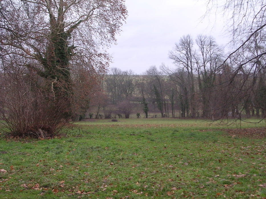
Landschaftlich schöne Abschnitte im Glemstal und insbesondere im Leudelsbachtal.
Es gibt keine Trails, dafür drei knackige Anstiege.
Start in Hemmingen Ortsmitte
Glemstal-Schwieberdingen-Glemstal-am Steinbruch steil rechts hoch- Markgröningen-
Leudelsbachtal-lang und am Schluß recht steil hoch nach Markgröningen- nochmals hinab ins Glemstal- über Talhausen teilweise recht steil wieder hoch- Wart.und Schönbühlhof- Hemmingen.
Further information at
http://www.glemsmuehlenweg.de/Tour gallery
Tour map and elevation profile
Minimum height 195 m
Maximum height 340 m
More about the tour author
|
|
Hemmingen |
Comments

Start in der Laurentiusstr.Parkmöglichkeiten am Altersheim.
GPS tracks
Trackpoints-
GPX / Garmin Map Source (gpx) download
-
TCX / Garmin Training Center® (tcx) download
-
CRS / Garmin Training Center® (crs) download
-
Google Earth (kml) download
-
G7ToWin (g7t) download
-
TTQV (trk) download
-
Overlay (ovl) download
-
Fugawi (txt) download
-
Kompass (DAV) Track (tk) download
-
Track data sheet (pdf) download
-
Original file of the author (gpx) download
More about the tour author
|
|
Hemmingen |
Add to my favorites
Remove from my favorites
Edit tags
Open track
My score
Rate