


Sehr schöne Skitour mit toller Abfahrt.
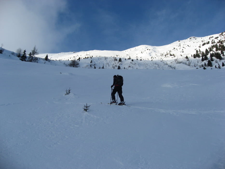
Zunächst geht es über den für die Abfahrt ausreichend steilen Forstweg in das Winklertal. Knapp vor dem Talschluss, am flachen Almboden angekommen geht es rechts hoch in Richtung Gipfel. Dabei immer südwestlich halten und dabei stetig Höhe gewinnen.
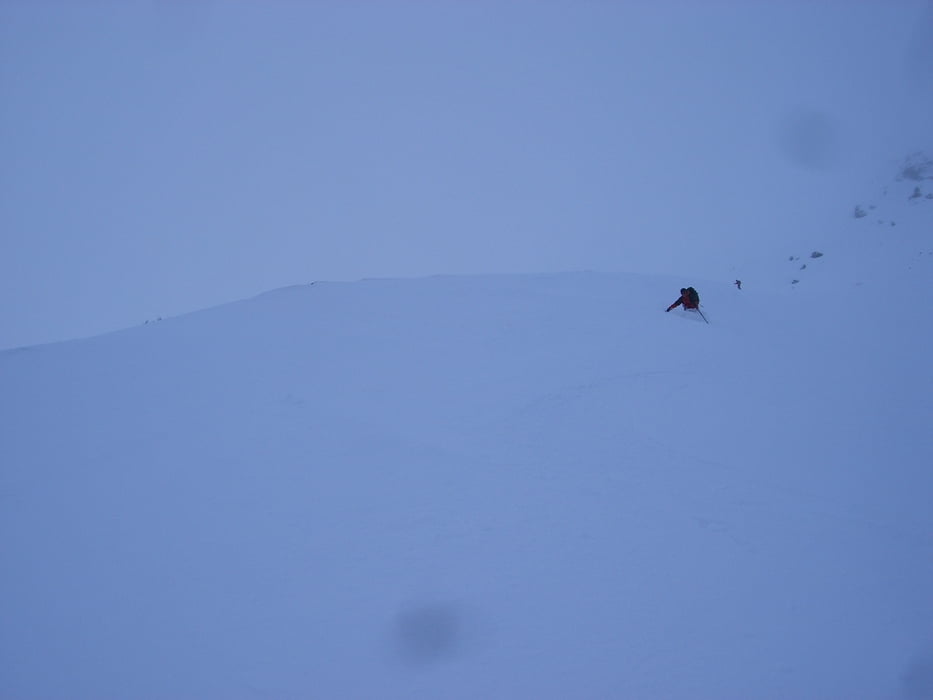
Abfahrt wie Aufsteig.
Der steile Osthang ist bei Lawinengefahr zu meiden.
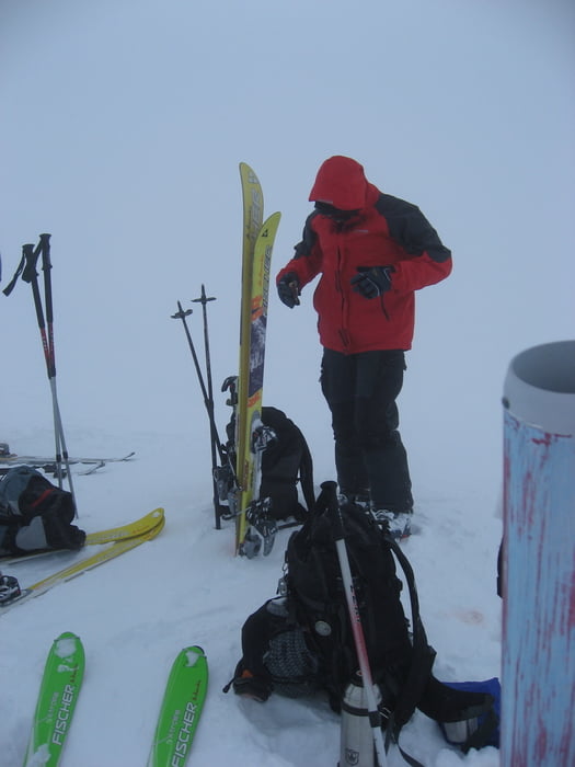
Tour gallery
Tour map and elevation profile
Minimum height 1246 m
Maximum height 2460 m
More about the tour author
|
|
TheTux |
Comments
In das Lesachtal nach Obertilliach. Beim Ortsteil Winkl nach unten zum Tilliacherhof abbiegen. Knapp vor dem Hof kann man nahe der Gail parken.
GPS tracks
Trackpoints-
GPX / Garmin Map Source (gpx) download
-
TCX / Garmin Training Center® (tcx) download
-
CRS / Garmin Training Center® (crs) download
-
Google Earth (kml) download
-
G7ToWin (g7t) download
-
TTQV (trk) download
-
Overlay (ovl) download
-
Fugawi (txt) download
-
Kompass (DAV) Track (tk) download
-
Track data sheet (pdf) download
-
Original file of the author (gpx) download
More about the tour author
|
|
TheTux |
Add to my favorites
Remove from my favorites
Edit tags
Open track
My score
Rate
https://picasaweb.google.com/weger.mike/2011_02_18