


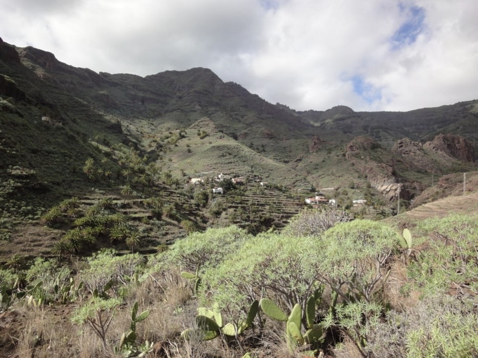
Die Tour startet in Taco (bei Santiago) und wird in einigen Wanderführern beschrieben und "Zum Katzenrücken" genannt. Zunächst geht es zurück bis an die Weggabelung am Ortsanfang von Taco. Von hier führt der Track zunächst über Asphalt bis nach Pastrana. Dann geht es über Pfade bis hoch nach Lo del Gato. Ab hier wird es etwas anspruchsvoller. Der Pfad ist hier oft schwer auszumachen und geht steil bergan. Er wird allerdings häufig durch kleine Steinpyramiden gekennzeichnet. Schliesslich gelangt man über El Cabezo zurück zum Ausgangspunkt. Die Tour ist mittelschwer und hat ein paar sehr schöne Aussichten in den Barranco de Santiago.
Tour gallery


Tour map and elevation profile
Minimum height 116 m
Maximum height 650 m
More about the tour author
|
|
ralph.trapp |
Comments

Mit dem Auto fährt man nach Santiago. Von hier in Richtung Flughafen bzw Playa del Santiago. Kurz vor dem Tunnel noch unten im Tal zweigt rechts ein Weg Richtung Taco ab, dem Ausgangspunkt der Wanderung.
GPS tracks
Trackpoints-
GPX / Garmin Map Source (gpx) download
-
TCX / Garmin Training Center® (tcx) download
-
CRS / Garmin Training Center® (crs) download
-
Google Earth (kml) download
-
G7ToWin (g7t) download
-
TTQV (trk) download
-
Overlay (ovl) download
-
Fugawi (txt) download
-
Kompass (DAV) Track (tk) download
-
Track data sheet (pdf) download
-
Original file of the author (gpx) download
More about the tour author
|
|
ralph.trapp |
Add to my favorites
Remove from my favorites
Edit tags
Open track
My score
Rate