
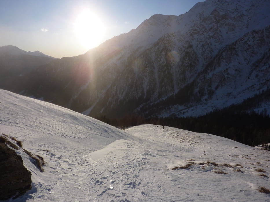

Vom Parkplatz entweder direkt über die ausgeprägte Mulde in NW Richtung – Spuren sind meist vorhanden - oder über die Jamnighütte, von dort Richtung N in den Wald und über die Hänge zur Peterbauerhütte. Von dort ist die Romaten schon schön zu sehen. Weiter über lange Hänge zum Gipfel.
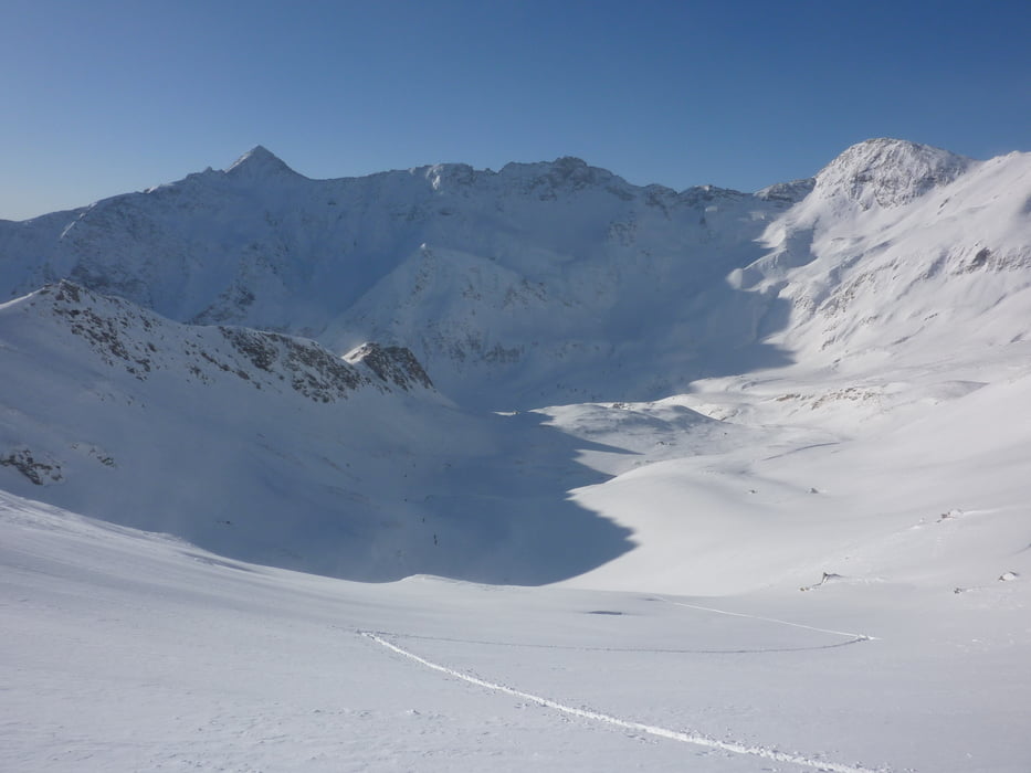
Leichte und schöne Abfahrt über Almböden und weite Hänge zum Parkplatz Jamnigalm oder weiter entlang der Rodelbahn bis zur Stockerhütte.
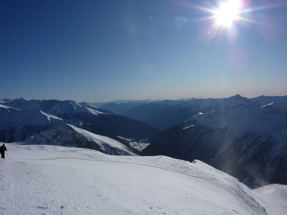
Tour gallery
Tour map and elevation profile
Minimum height 1247 m
Maximum height 2700 m
More about the tour author
|
|
harald07071 |
Comments

von Mallnitz ins Tauerntal bis Parkplatz bei "Stockerhütte".
Von hier per Touren-Taxi zum Ausgangspunkt nahe der Jamnigalm.
GPS tracks
Trackpoints-
GPX / Garmin Map Source (gpx) download
-
TCX / Garmin Training Center® (tcx) download
-
CRS / Garmin Training Center® (crs) download
-
Google Earth (kml) download
-
G7ToWin (g7t) download
-
TTQV (trk) download
-
Overlay (ovl) download
-
Fugawi (txt) download
-
Kompass (DAV) Track (tk) download
-
Track data sheet (pdf) download
-
Original file of the author (gpx) download
More about the tour author
|
|
harald07071 |
Add to my favorites
Remove from my favorites
Edit tags
Open track
My score
Rate