


This tour was record with Garmin Colorado 300 and post-worked with Map Source.
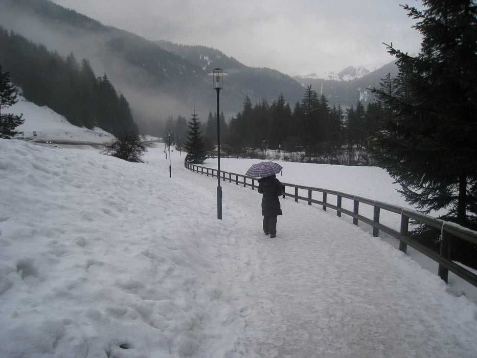
This is a nice loop for hiking or running after your skiing in the Val di Fassa with a nice Dolomiti enviroment.
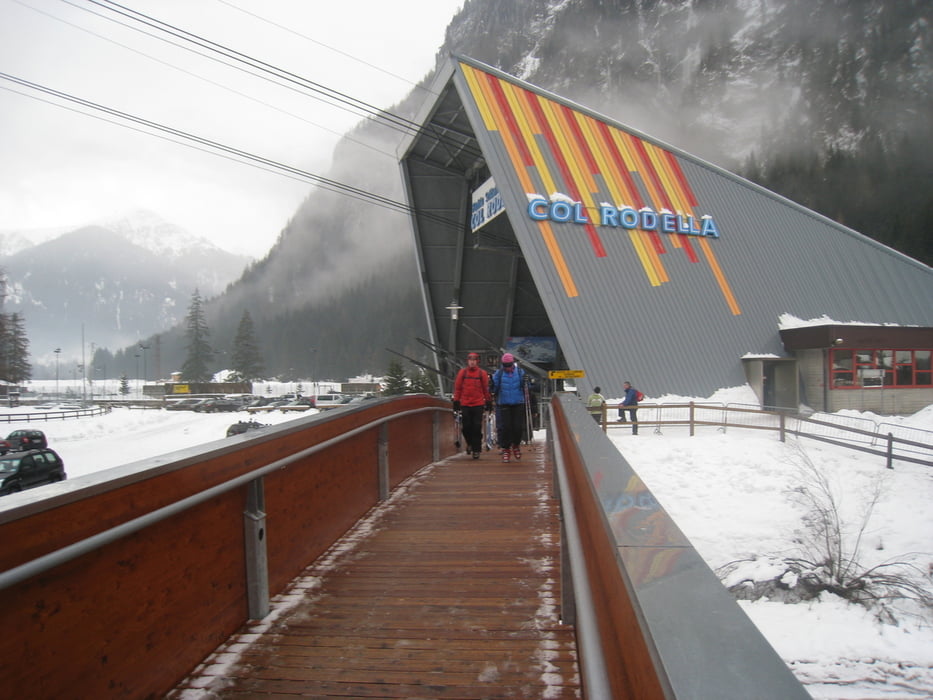
You can use this loop in both directions and you can start at any position. The following discription is with start in Campitello at the Hotel Wedora close to the cable railway.
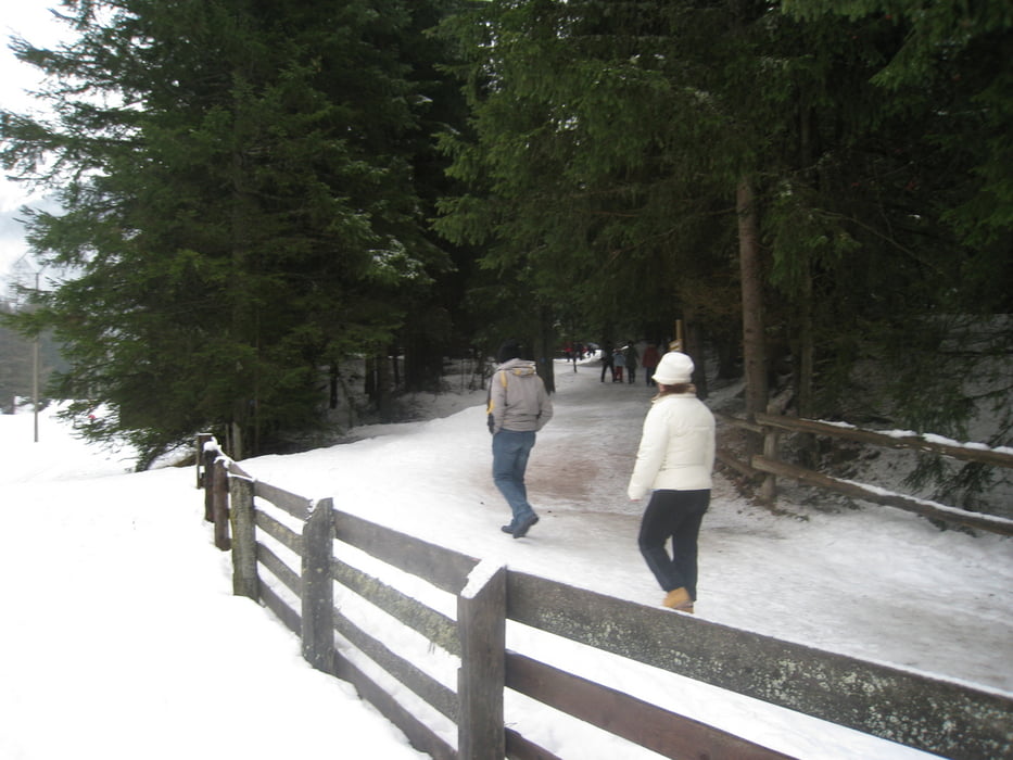
The trail goes parallel to the creek up to Canazei. In Canazei you cross the creek and the the trail follows the cross-country track through the nice forrest. You arrive in Campitello and cross again the creek via the new bridge close to the cable railwayand and close the loop.
For running you can use this loop in oposit directions as often you want. For spoty people – this is a good high-altitude training with ideal 1450 meters altitude.
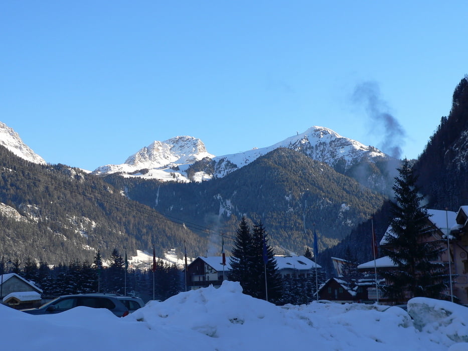
At this trail you will have a wonderful outlook from the Val di Fassa to the unique Dolomiti mountains environment.
Have fun at this nice trail.
P.S. Video-clips to my gps-tours - based on different categories - you can find under the attached link in further
Further information at
http://hvdh.info/Tour gallery
Tour map and elevation profile
Minimum height 2402 m
Maximum height 2431 m
More about the tour author
|
|
HvdH |
Comments

The start of this hiking or running trail is in Campitello at the Hotel Wedora close to the cable railway.
From the areas arrount you can use the skiing busses to go to this place. You can start as well at any place of the trail.
GPS tracks
Trackpoints-
GPX / Garmin Map Source (gpx) download
-
TCX / Garmin Training Center® (tcx) download
-
CRS / Garmin Training Center® (crs) download
-
Google Earth (kml) download
-
G7ToWin (g7t) download
-
TTQV (trk) download
-
Overlay (ovl) download
-
Fugawi (txt) download
-
Kompass (DAV) Track (tk) download
-
Track data sheet (pdf) download
-
Original file of the author (gpx) download
More about the tour author
|
|
HvdH |
Add to my favorites
Remove from my favorites
Edit tags
Open track
My score
Rate