

Start der ist Lü wir folgen dem Biketrail Nr Alpinbike NR 1 durch Val Mora ein traumhaftes Hochtal und erreichen den Lago Di S. Giacomo Di Fraéle, wir folgen der Strasse bis Torri di Fraéle mit herrlichem Blick auf Bormio.
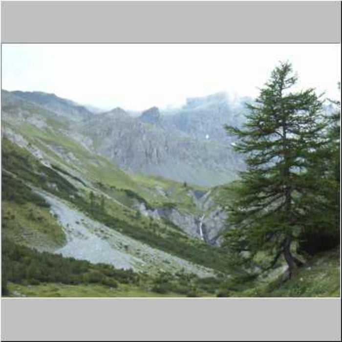
Wir verlassen die Passstrasse an der 2. Kurve und folgen immer hangwärts mit einer Traumkulisse auf das Val Viola der Strasse bis fast zum Talschluss.
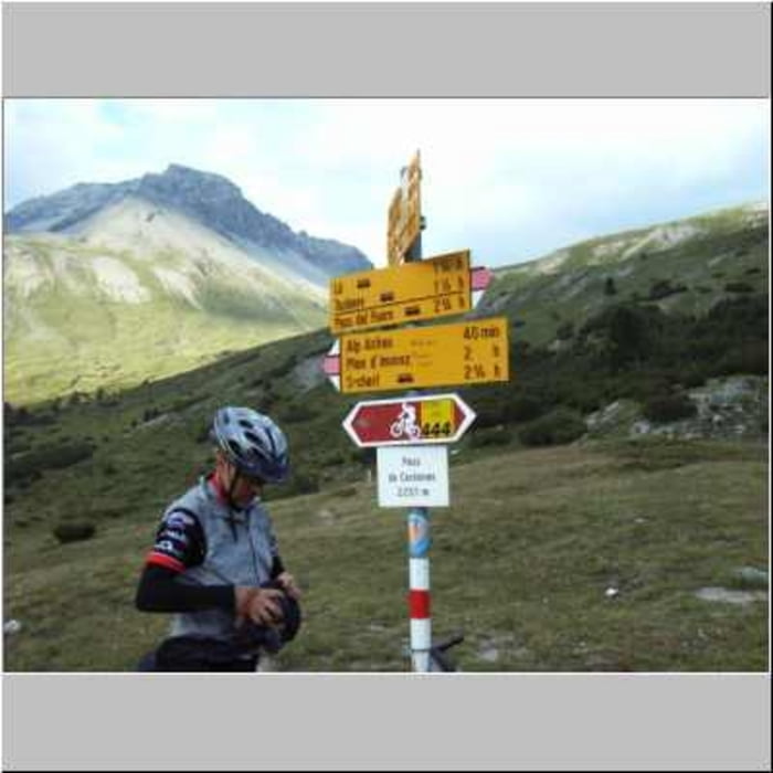
Nun geht es teils steil bergauf bis zum Passo Di Vèrva (2301m), vorbei an Eita einem herrlichen Bergdorf erreichen wir nach kuzer Abfahrt unser Etappenziel Grosio
Tour gallery
Tour map and elevation profile
Minimum height 633 m
Maximum height 2306 m
More about the tour author

|
Schwabe |
Comments

GPS tracks
Trackpoints-
GPX / Garmin Map Source (gpx) download
-
TCX / Garmin Training Center® (tcx) download
-
CRS / Garmin Training Center® (crs) download
-
Google Earth (kml) download
-
G7ToWin (g7t) download
-
TTQV (trk) download
-
Overlay (ovl) download
-
Fugawi (txt) download
-
Kompass (DAV) Track (tk) download
-
Track data sheet (pdf) download
-
Original file of the author (gpx) download
More about the tour author
|
|
Schwabe |
Add to my favorites
Remove from my favorites
Edit tags
Open track
My score
Rate