

Aufstieg mit Abstecher: 2 Stunden 50 Minuten
Abfahrt: 16 Minuten
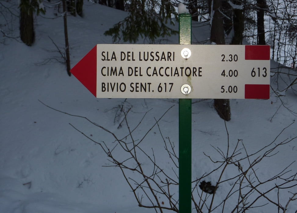
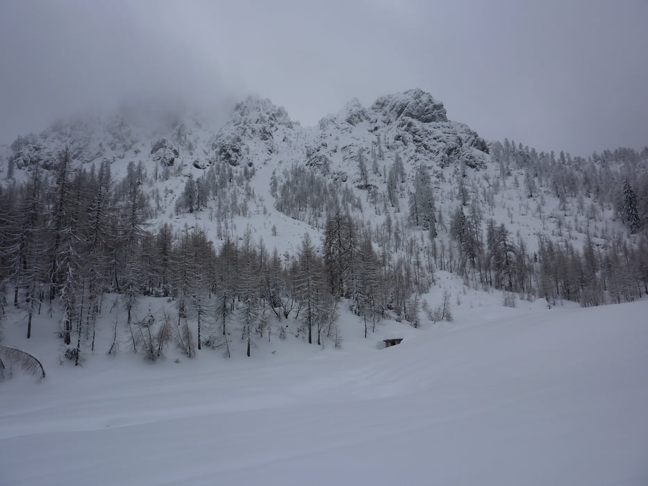
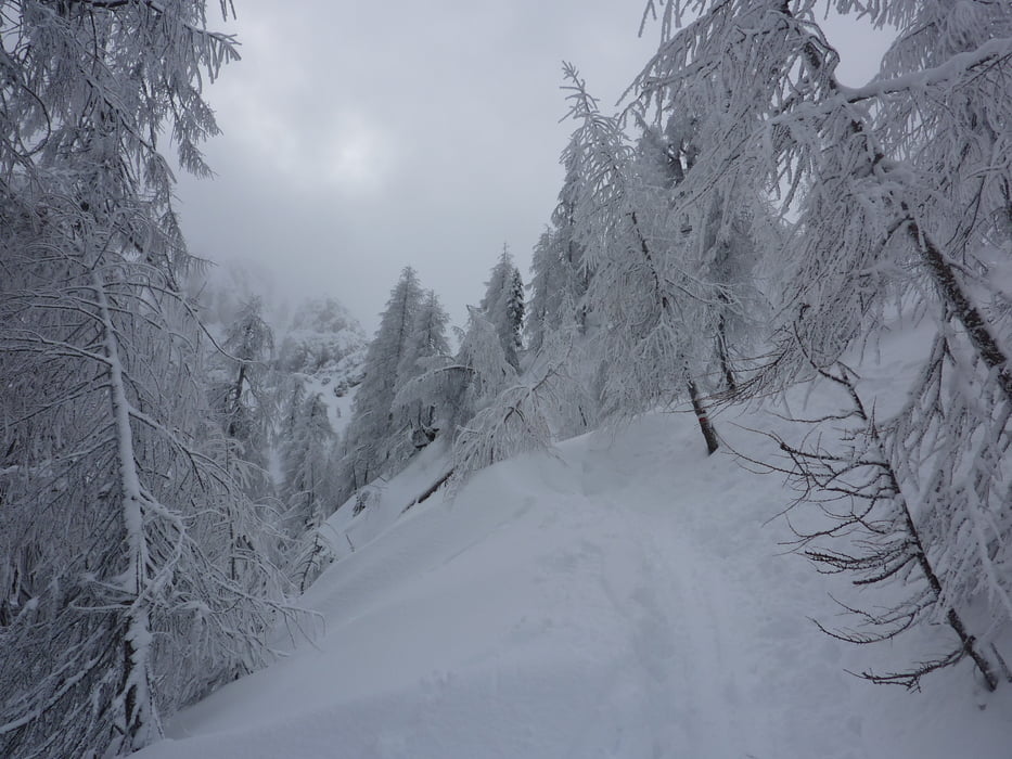
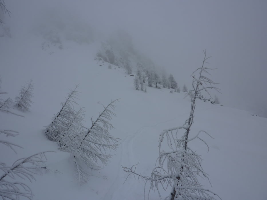
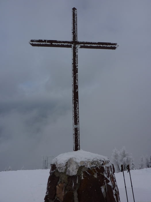
Dem Pilgerweg (=Forststraße) bis zu einer Alm folgen, dort nach den Hütten links in den Wald abbiegen. Steil leicht rechts bis zum markierten Weg aufsteigen und diesem nach links folgen. Weite Querung durch Wald und freie Flächen, die jedoch bei Neuschnee oder Tauwetter nicht lawinensicher sind (Umkehrpunkt). Bei sicheren Verhältnissen weiter queren und nach derm Lawinenstrich in Spitzkehren auf eine Anhöhe. Die Mulde rechts umgehen, entweder auf eine Scharte oder kurz vorher Schidepot und zu Fuß rechts steil hinauf zum Gipfel.
Tour gallery
Tour map and elevation profile
Minimum height 833 m
Maximum height 1840 m
More about the tour author
|
|
harald07071 |
Comments

Von Tarvis Richtung Camporosso kurz vor dem Kreisverkehr Camporosso nach links in die Via Lussari dann weiter ca.300m zum Parkplatz
GPS tracks
Trackpoints-
GPX / Garmin Map Source (gpx) download
-
TCX / Garmin Training Center® (tcx) download
-
CRS / Garmin Training Center® (crs) download
-
Google Earth (kml) download
-
G7ToWin (g7t) download
-
TTQV (trk) download
-
Overlay (ovl) download
-
Fugawi (txt) download
-
Kompass (DAV) Track (tk) download
-
Track data sheet (pdf) download
-
Original file of the author (gpx) download
More about the tour author
|
|
harald07071 |
Add to my favorites
Remove from my favorites
Edit tags
Open track
My score
Rate