

Eine schöne Tour am westlichen Rand des Schönbuch Waldes.im herbst ein traum
Beginnend in Herrenberg am Waldfriedhof geht es entlang am Trauf mit schönen Möglichkeiten einen Blick ins Gäu zu werfen. (
Bis zur Burg Hohenentringen (schoener Biergarten) ist der Weg gespickt mit einigen Single Trails! hauptsächlich HW5 wanderweg
Von der Burg an geht's weiter in Richtung Tübingen und von dort über das Goldersbachtal gemütlich zurück nach Herrenberg. Dabei das königliche Jagdschloss nicht vergessen!
man kann dann noch die trails beim birkensee noch mitnehmen einer davon ist sehr anstrengend
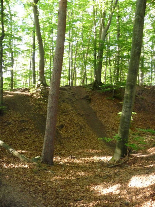
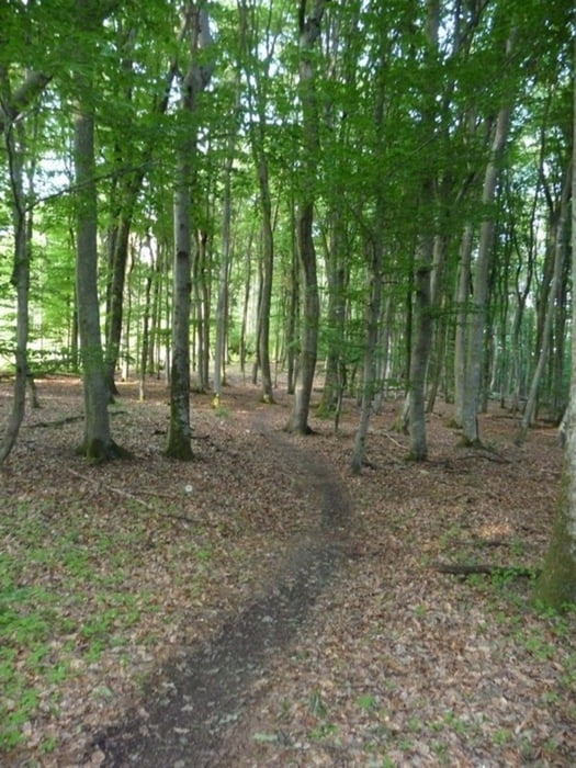
Tour gallery
Tour map and elevation profile
Minimum height 402 m
Maximum height 587 m
More about the tour author
|
|
catwiesel39 |
Comments

GPS tracks
Trackpoints-
GPX / Garmin Map Source (gpx) download
-
TCX / Garmin Training Center® (tcx) download
-
CRS / Garmin Training Center® (crs) download
-
Google Earth (kml) download
-
G7ToWin (g7t) download
-
TTQV (trk) download
-
Overlay (ovl) download
-
Fugawi (txt) download
-
Kompass (DAV) Track (tk) download
-
Track data sheet (pdf) download
-
Original file of the author (gpx) download
More about the tour author
|
|
catwiesel39 |
Add to my favorites
Remove from my favorites
Edit tags
Open track
My score
Rate