Login

Forgot your login?

Cookies have to be accepted!
Your browser's cookie functionality is disabled. Please enable this functionality.

Not a member yet?

Register now
Login

Available for registred users only

Log in to use this feature.

Forgot your login?

Cookies have to be accepted!
Your browser's cookie functionality is disabled. Please enable this functionality.

Not a member yet?

Register now
Filter
Categories
Advanced filters
  • Distance (km)
  • Height
Save filters Reset filter

TrackRank

QRCode

Technical data

Distance14,2 km Height200 m Way down236 m Duration02:00 h:m Date17.01.2010
Scores Author Landscape Fun factor Fitness Technique

Statistics

1070 Views Scores 35 Downloads Average
Rate
  • Track data sheet
  • Directions
  • Downloads

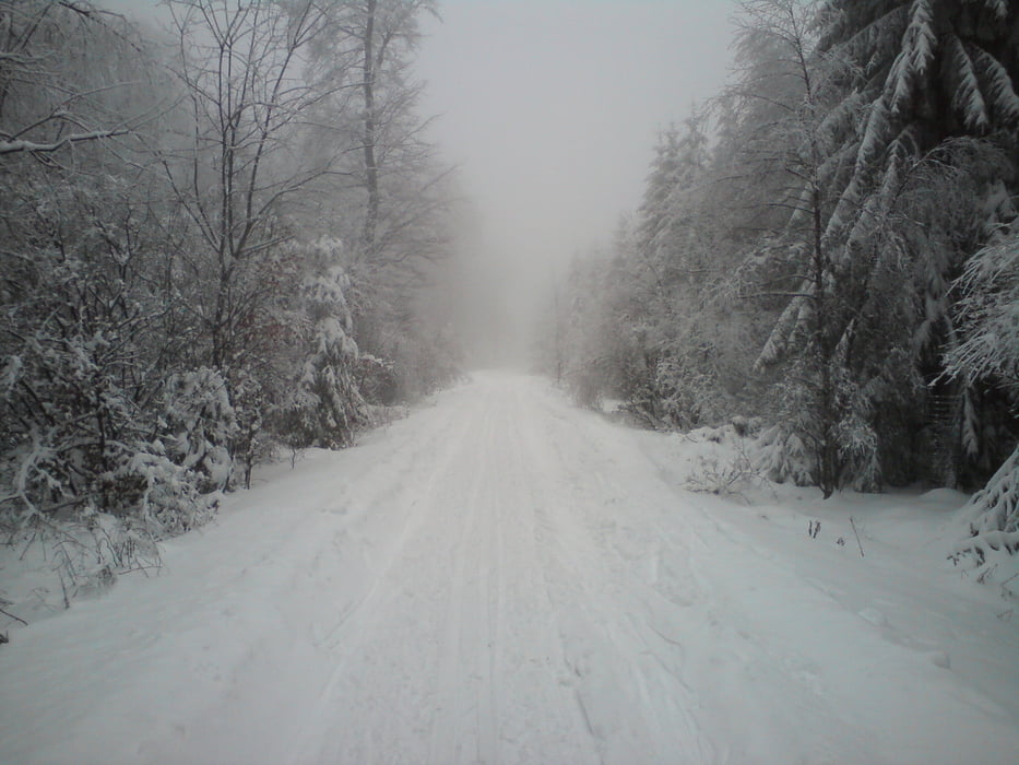
Von Silberborn entlang der Loipe 3 und 3 A. Auf dem Rückweg auf die Loipe 2 abzweigen und dieser Loipe bis zurück zum Parkplatz folgen.

Further information at

http://www.hochsolling.de/ski-langlauf0.html

Tour gallery

Tour map and elevation profile

  • Open Street Map
  • Google
Minimum height 437 m Maximum height 538 m Detailed view

More about the tour author

Struwe
Member since 2007

Send private message

Comments

Von Holzminden über die B 497 bis Silberborn. Im Ort auf die Dasseler Str. in Richtung Campingplatz fahren. Hinter der Abzweigung zum Camping auf der linken Seite ein Wanderparkplatz mit dem Beginn der Loipen.

GPS tracks

Trackpoints
  • GPX / Garmin Map Source (gpx) download
  • TCX / Garmin Training Center® (tcx) download
  • CRS / Garmin Training Center® (crs) download
  • Google Earth (kml) download
  • G7ToWin (g7t) download
  • TTQV (trk) download
  • Overlay (ovl) download
  • Fugawi (txt) download
  • Kompass (DAV) Track (tk) download
  • Track data sheet (pdf) download
  • Original file of the author (gpx) download

More about the tour author

Struwe
Member since 2007

Send private message
Share track
Add to my favorites
Remove from my favorites
Edit tags
My score
Rate
Track: Solling Loipe 3
Type: Cross-country skiing
Distance: 14,2 km
Evaluated on:
Duration:
Day(s)
Hour(s)
Minute(s)
Score: Landscape Fun factor Fitness Technique