


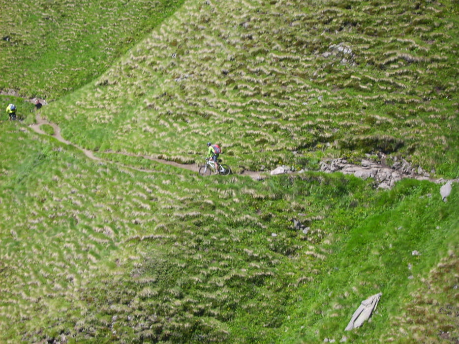
Wunderschöne Tour auf alten "Kriegswegen" durch herrliche Landschaft.
Aufgrund von starkem Regen am 2. Tag und Schnee am 3. konnten wir unsere ursprüngliche Route um die Drei Zinnen nicht fahren und mußten früher pausieren als geplant. Damit ist auch am letzten Tag der Weg über die Plose und das Schlüsseljoch ausgefallen.
Auf dieser Tour haben wir ettliche Schiebestücke gehabt, was dem Erlebnis nicht schadet.
Bitte nehmt Rücksicht am Bindel- sowie am Friedrich August- und Adolf Munkel Weg. Nicht dass diese schönen Trails gesperrt werden.
1. Tag: Brenner über Flatschjoch und Pfitscherjoch nach Maria Saalen
2. Tag : Furkelpass, Kreuzjoch zum Pragser Wildsee ( das Hotell ist sehr schön gelegen, der Besitzer ist extrem unfreundlich)
3. Tag: Plätzwiesen, Misurina See, Passo Tre Croci ,Rif Son Forca
4. Tag Fanes, Großfanes Hütte, Palongia, Pezzei
5. Tag Col de Ornella, Rif. Luigi Gorza, Bindelweg, Sellapass, Friedrich August Weg, Plattkofelhütte, Seiser Alm, St. Ulrich
6. Tag: Adolf Munkel Weg ( bis zum Sperrschild), St Magdalena, Klausen, Brixen,
Tour gallery

Tour map and elevation profile
Minimum height 541 m
Maximum height 2580 m
More about the tour author
|
|
wige |
Comments

Ab dem Parkplatz südlich am Brenner.
GPS tracks
Trackpoints-
GPX / Garmin Map Source (gpx) download
-
TCX / Garmin Training Center® (tcx) download
-
CRS / Garmin Training Center® (crs) download
-
Google Earth (kml) download
-
G7ToWin (g7t) download
-
TTQV (trk) download
-
Overlay (ovl) download
-
Fugawi (txt) download
-
Kompass (DAV) Track (tk) download
-
Track data sheet (pdf) download
-
Original file of the author (gpx) download
More about the tour author
|
|
wige |
Add to my favorites
Remove from my favorites
Edit tags
Open track
My score
Rate