Login

Forgot your login?

Cookies have to be accepted!
Your browser's cookie functionality is disabled. Please enable this functionality.

Not a member yet?

Register now
Login

Available for registred users only

Log in to use this feature.

Forgot your login?

Cookies have to be accepted!
Your browser's cookie functionality is disabled. Please enable this functionality.

Not a member yet?

Register now
Filter
Categories
Advanced filters
  • Distance (km)
  • Height
Save filters Reset filter

TrackRank

QRCode

Technical data

Distance11,2 km Height172 m Way down69 m Duration04:30 h:m Date28.01.2010
Scores Author Landscape Fun factor Fitness Technique

Statistics

416 Views Scores 6 Downloads Average
Rate
  • Track data sheet
  • Directions
  • Downloads

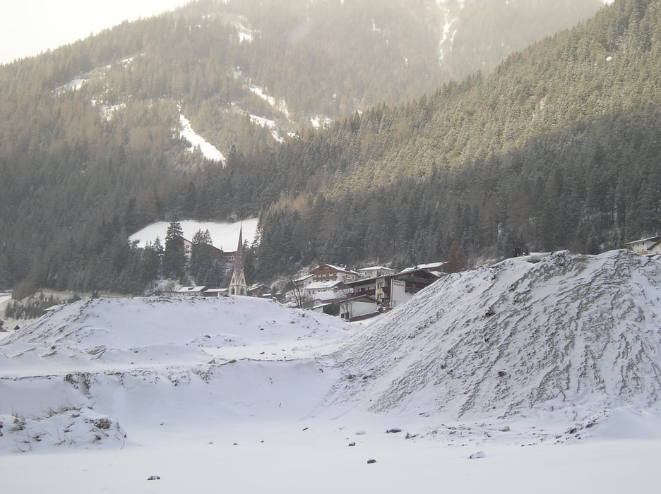
Gestartet wird bei Talstation Bergeralm in Steinach am Brenner. Zu ereichen mit Postbus.

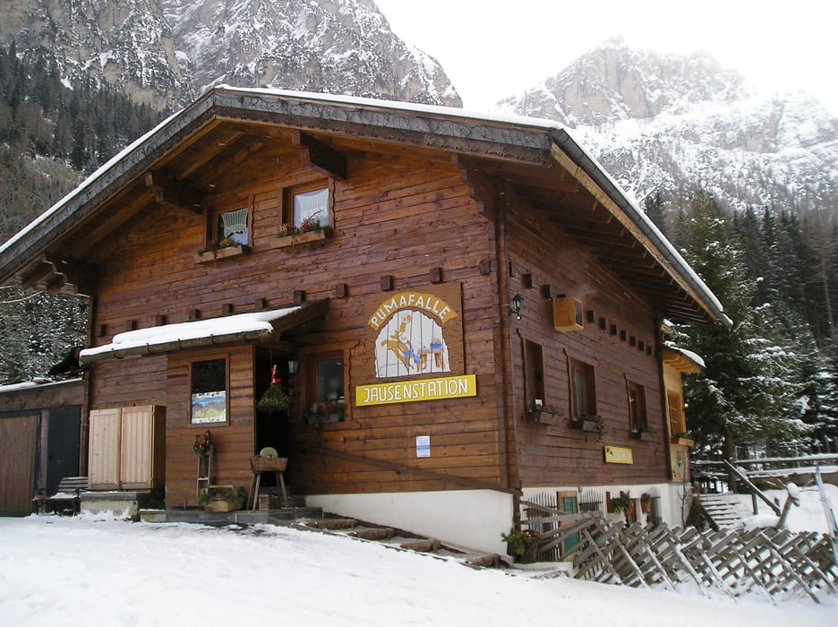
Mehrere Einkehtrmöglichkeiten, u.a. Jaussenstation Liftstüberl, Gasthof Pumahalle u.s.w.

Sehr schöne Aussichten.

Tour gallery

Tour map and elevation profile

  • Open Street Map
  • Google
Minimum height 1139 m Maximum height 1272 m Detailed view

More about the tour author

boskwa12
Member since 2008

Send private message

Comments

GPS tracks

Trackpoints
  • GPX / Garmin Map Source (gpx) download
  • TCX / Garmin Training Center® (tcx) download
  • CRS / Garmin Training Center® (crs) download
  • Google Earth (kml) download
  • G7ToWin (g7t) download
  • TTQV (trk) download
  • Overlay (ovl) download
  • Fugawi (txt) download
  • Kompass (DAV) Track (tk) download
  • Track data sheet (pdf) download
  • Original file of the author (gpx) download

More about the tour author

boskwa12
Member since 2008

Send private message
Share track
Add to my favorites
Remove from my favorites
Edit tags
My score
Rate
Track: Winterwanderung Gschnitztal in Tirol
Type: Hiking
Distance: 11,2 km
Evaluated on:
Duration:
Day(s)
Hour(s)
Minute(s)
Score: Landscape Fun factor Fitness Technique