


Eine kleine Wanderung bei Düsseldorf. Die Tour startet in Düsseldorf Benrath und führt direkt am Rhein durch die Urdenbacher Kämpe an der Fähre Zons vorbei bis Monheim. Dann geht es zum Urdenbacher Deich Richtung Hilden durch den Forst zwischen Hilden und Benrath wieder zurück.
Insgesamt abwechslungsreiche 19 km - bei uns etwas beschwerlicher aufgrund des Schnees. Ansonsten gute Wege.
Höhepunkte u. a. Schloß und Schloßpark Benrath
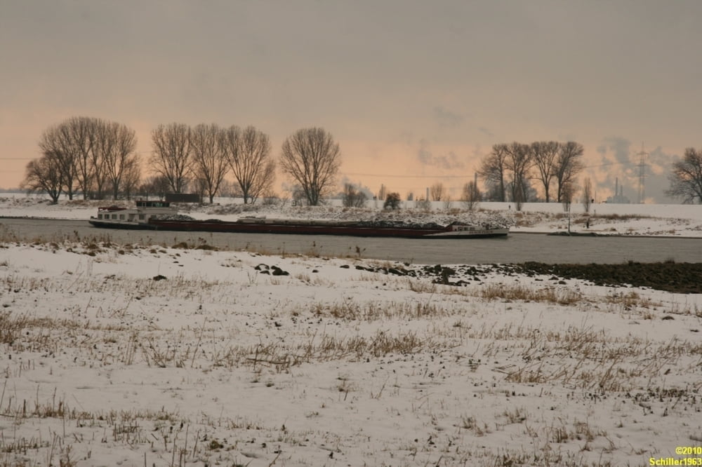
Naturschutzgebiet Urdenbacher Kämpe
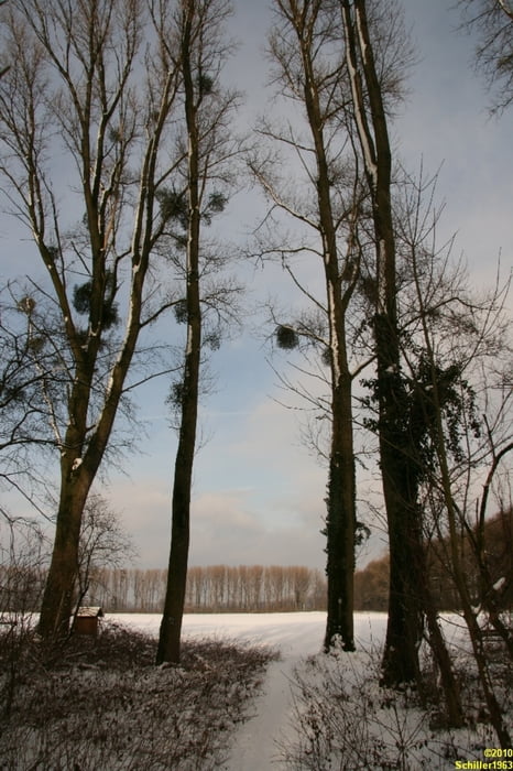
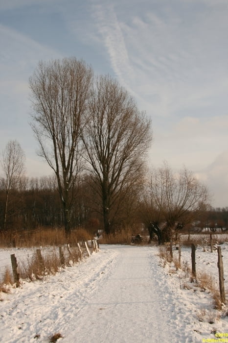
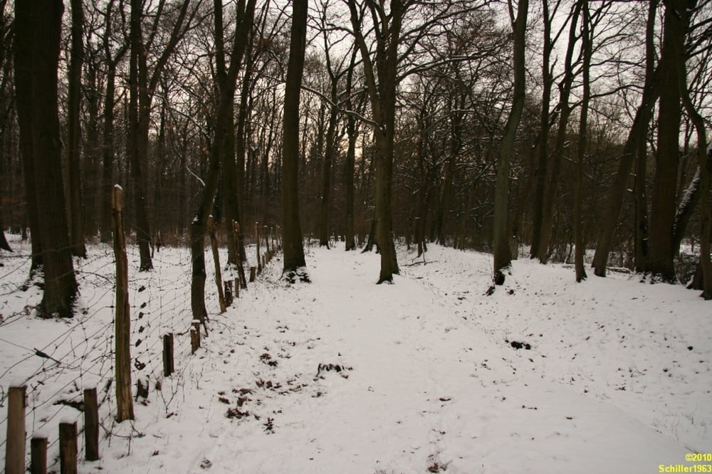
Tour gallery
Tour map and elevation profile
Minimum height 25 m
Maximum height 114 m
More about the tour author
|
|
Schiller1963 |
Comments

Orientierung ganz einfach:
Geparkt am Benrather Schloß. Dann den Weg D (rund um Düsseldorf) - durch die Urdenbacher Kämpe bis Monheim zur Fähre Zons - ab dort den A6 bis zum Rundweg M (Rundum Monheim). Dann durch Garath zum H (Rund um Hilden) mit dem Abstecher ins Wildgehege im Garather Forst..
GPS tracks
Trackpoints-
GPX / Garmin Map Source (gpx) download
-
TCX / Garmin Training Center® (tcx) download
-
CRS / Garmin Training Center® (crs) download
-
Google Earth (kml) download
-
G7ToWin (g7t) download
-
TTQV (trk) download
-
Overlay (ovl) download
-
Fugawi (txt) download
-
Kompass (DAV) Track (tk) download
-
Track data sheet (pdf) download
-
Original file of the author (gpx) download
More about the tour author
|
|
Schiller1963 |
Add to my favorites
Remove from my favorites
Edit tags
Open track
My score
Rate