


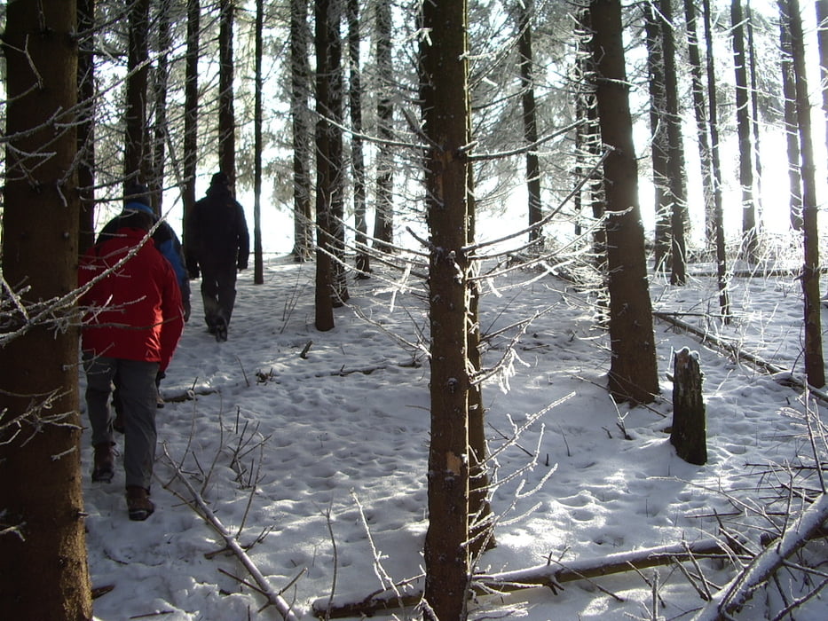
Wir starten am Eingang ins Schöntal (bei Firma Weinmeyer), gehen ein Stück Richtung Skihütte zweigen aber bereits deutlich vor der Skihütte rechts ab und gehen den Berg hoch und vor zum Regenbogen. Weiter auf der Hochfläche Buch einen großen Bogen zur Mühlhauser Steige. Hier gehen wir ein Stück bergab und weiter über Hangweg, Sterneckberg und wieder zurück zum Ausgangspunkt Wiesensteig.
Tour gallery


Tour map and elevation profile
Minimum height 532 m
Maximum height 784 m
More about the tour author
|
|
whasch |
Comments

Wiesensteig liegt in der Nähe von der Autobahnausfahrt Mühlhausen (A8)
GPS tracks
Trackpoints-
GPX / Garmin Map Source (gpx) download
-
TCX / Garmin Training Center® (tcx) download
-
CRS / Garmin Training Center® (crs) download
-
Google Earth (kml) download
-
G7ToWin (g7t) download
-
TTQV (trk) download
-
Overlay (ovl) download
-
Fugawi (txt) download
-
Kompass (DAV) Track (tk) download
-
Track data sheet (pdf) download
-
Original file of the author (gpx) download
More about the tour author
|
|
whasch |
Add to my favorites
Remove from my favorites
Edit tags
Open track
My score
Rate