


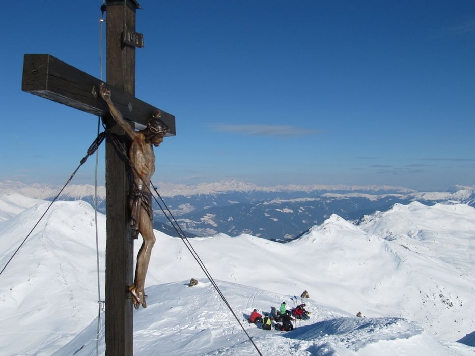
Eine Paradeskitour im hintersten Sarntal mit umfassender Aussicht.
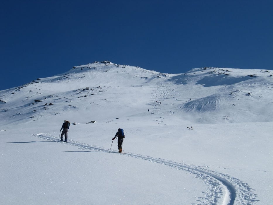
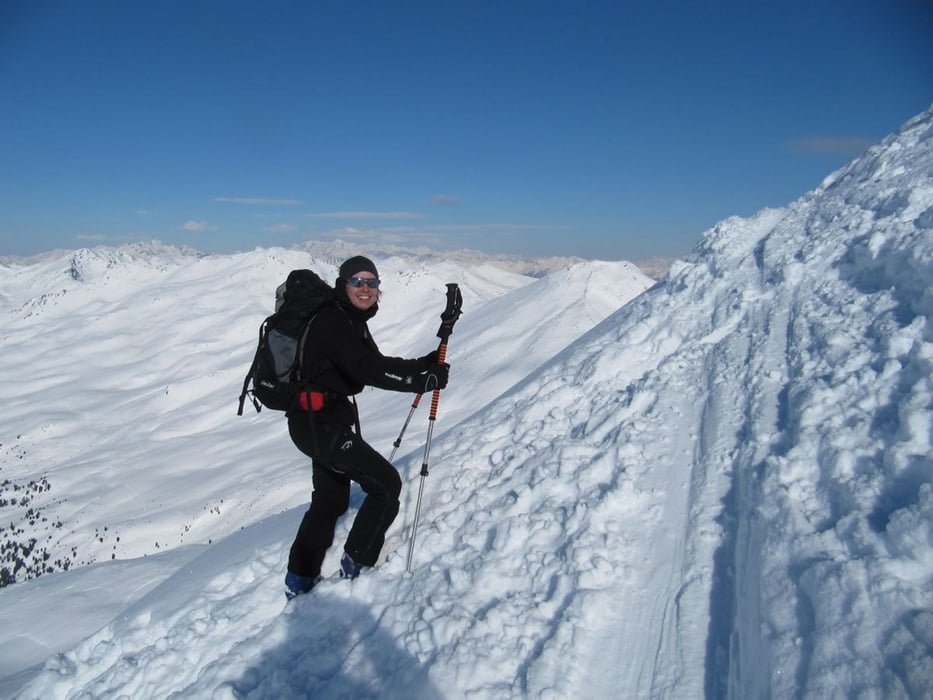
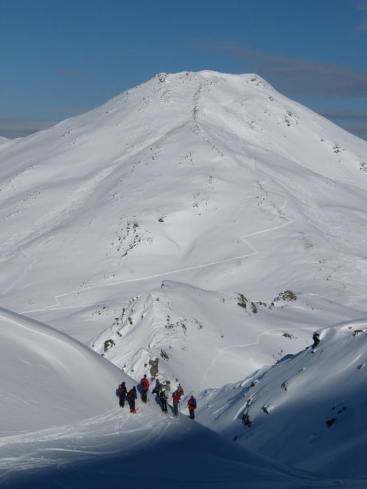
Ausgangspunkt für uns war der Gasthof Jägerhof in Durnholz. Am Seeufer entlang bis zum geschlossenen Fischerwirt, dann über den See und in das Großalmtal hinein. Immer im Tal bleiben und auf die Fortschellscharte (2299m) zugehen. Wir ließen uns von den sonnigen Hängen links der Scharte dazu verleiten, zunächst auf das Plankenhorn zu gehen. Abfahrt direkt über die Westflanke bis etwa Höhe 2180m, dann nochmals anfellen und auf einem Rücken neben einer Rinne Richtung Süden zu einer Scharte rechts der Kassianspitze. Auf dem Grat (evtl. Ski tragen) zum Gipfel.
Abfahrt zunächst links des Grates, dann in der Rinne, wenn es die Lawinensituation zuläßt, bis in das Großalmtal und zurück zum Wirt.
Gesamtzeit ca. 4 ½ Stunden Aufstieg, ca. 1450 Hm
Further information at
http://www.jaegerhof.org/Tour gallery
Tour map and elevation profile
Minimum height 1528 m
Maximum height 2595 m
More about the tour author
|
|
herzi |
Comments

Anfahrt Durnholz: Brennerautobahn, Ausfahrt Kufstein-Nord, an der Seilbahn zum Rittnerhorn vorbei und auf Nebenstraßen um Bozen herum bis Burg Runkelstein, dann die Straße Richtung Penster Joch bis Astfeld, hier rechts abbiegen Reinswald - Durnholz
GPS tracks
Trackpoints-
GPX / Garmin Map Source (gpx) download
-
TCX / Garmin Training Center® (tcx) download
-
CRS / Garmin Training Center® (crs) download
-
Google Earth (kml) download
-
G7ToWin (g7t) download
-
TTQV (trk) download
-
Overlay (ovl) download
-
Fugawi (txt) download
-
Kompass (DAV) Track (tk) download
-
Track data sheet (pdf) download
-
Original file of the author (gpx) download
More about the tour author
|
|
herzi |
Add to my favorites
Remove from my favorites
Edit tags
Open track
My score
Rate