
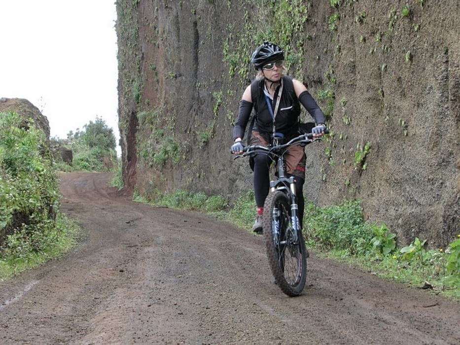

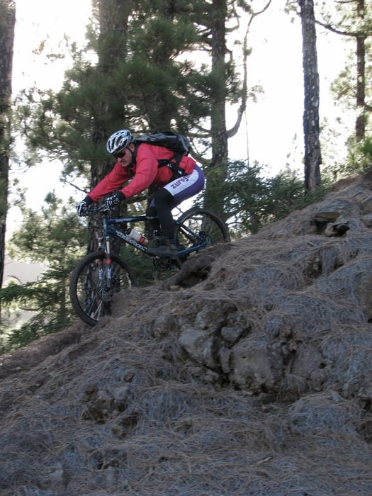
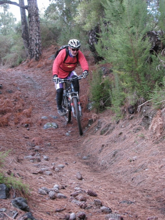
We began this all mountain tour in village La Galga where we parked our car. After few hundred meters on the main road we turned right and then the uphill on not technically difficult road begins. Nature is realy butifull, changing from tropical forest on the bottom to large pine tree forest on the top. Uphill was over when we reached the paved road leading to Roque de los Muchachos. Practically all descent is on the beautifull single trail. Long pine needles cover the trail in the upper part. When the type of forest changes, ground becomes more wet, probably also if the weather is nicer than we had. Some parts of trail are S1-S2 difficulty on singletrail skala. in the bottom part of downhill we found a trail which is to my opinion better than that described in guide book (http://www.mtb-lapalma.com/ - I recommend it !). Although some short parts go through bushes on the end there is very exciting trail in tunnel like environment. We reached the main road in Puntallana.
And do not forget to stop on the end in a local pub located few ten meters from the starting point.
Movie on the link bellow says more than words!
Further information at
http://www.vimeo.com/3935253Tour gallery
Tour map and elevation profile
Minimum height 50 m
Maximum height 1929 m
More about the tour author
|
|
cindro |
Comments

Parking on the main raod in La Galga village
GPS tracks
Trackpoints-
GPX / Garmin Map Source (gpx) download
-
TCX / Garmin Training Center® (tcx) download
-
CRS / Garmin Training Center® (crs) download
-
Google Earth (kml) download
-
G7ToWin (g7t) download
-
TTQV (trk) download
-
Overlay (ovl) download
-
Fugawi (txt) download
-
Kompass (DAV) Track (tk) download
-
Track data sheet (pdf) download
-
Original file of the author (gpx) download
More about the tour author
|
|
cindro |
Add to my favorites
Remove from my favorites
Edit tags
Open track
My score
Rate