


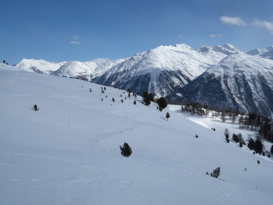
Eher einfache aber lohnende Schneeschuhtour ab Samedan. Bis Alp Muntatsch kann man oft auch ohne Schneeschuhe gehen, ab dort sind sie aber unerlässlich.
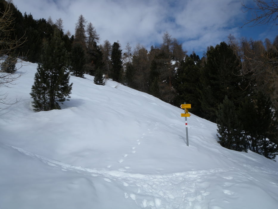
Die Route führt sowhl im Aufsteig als auch im Abstieg durch eine Wildschutzzone. Die vorgeschlagene Route ist aber zulässig und erlaubt - vorsicht, keine Varianten dazu wählen, das könnte teuer werden...
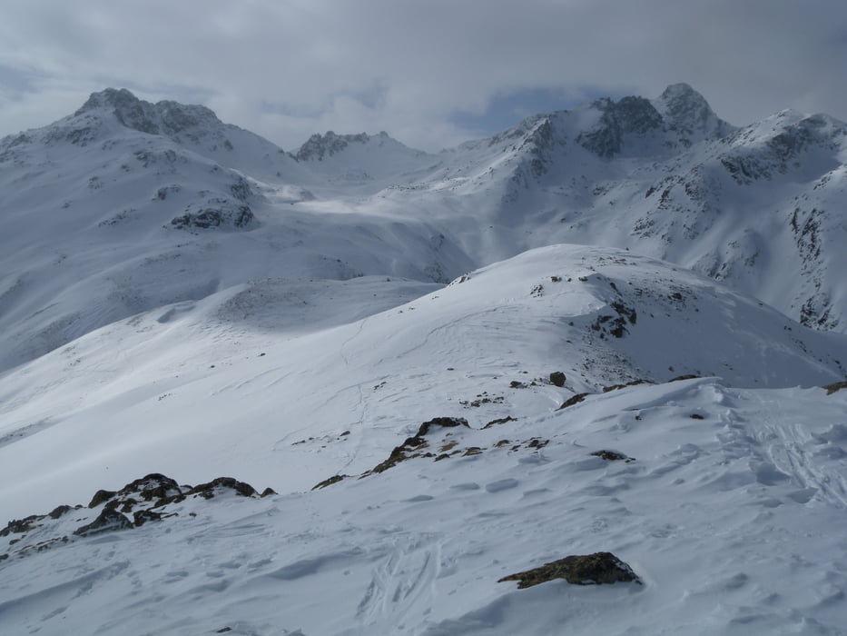
Vorsicht auf die Lawinensituation: Tour sollte nur bei Stufe "mässig" begangen werden!
Weitere Infos: www.slf.ch
Further information at
http://mapserver1.gr.ch/wildruhezonen/wildruhezonen.phtmlTour gallery
Tour map and elevation profile
Minimum height 1705 m
Maximum height 2502 m
More about the tour author
|
|
gerosa |
Comments

GPS tracks
Trackpoints-
GPX / Garmin Map Source (gpx) download
-
TCX / Garmin Training Center® (tcx) download
-
CRS / Garmin Training Center® (crs) download
-
Google Earth (kml) download
-
G7ToWin (g7t) download
-
TTQV (trk) download
-
Overlay (ovl) download
-
Fugawi (txt) download
-
Kompass (DAV) Track (tk) download
-
Track data sheet (pdf) download
-
Original file of the author (gpx) download
More about the tour author
|
|
gerosa |
Add to my favorites
Remove from my favorites
Edit tags
Open track
My score
Rate