


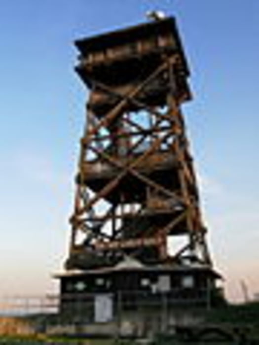
Ernstbrunn Hauptplatz - Friedhof - Fasanhaus - Semmelberg - Schüttkasten - am "Blauburger Radweg" nach osten - Waldeinfahrt - nach 1,2km rechts Ri Wildpark - vor Gatter links hinauf - Steinberg - Straßenüberquerung - Oberleiser Kirche - Asphalt Steilanstieg zur Aussichtswarte Oberleis - schöner Ausblick in´s Weinviertel, und bei gutem Wetter bis zum Schneeberg - Umrundung auf dem Wanderweg - hinunter zum Parkplatz - Entlang des Feldweges Ri Osten - weiter hinunter durch das Unterholz nach Nodendorf - am Ortsrand rechts westwärts hinauf am Güterweg auf die Steinbacher Heide - Wegabzweig nach links - schnelle Abfahrt nach Süden ( ACHTUNG WURZELN ) - vor Straße nach links am Feldweg hinunter nach Steinbach - Ortsdurchquerung Ri West - bei Brücke links hinauf zum "Weißen Kreuz" - am Kreuz links - vor dem 2. Windschutzgürtel recht hinab - Ernstbrunn, Kirchtalgasse - weiter südlich Ri Bahnhof - bei Hirschmillerstraße rechts zurück zur Kirche am Hauptplatz.
Tour gallery

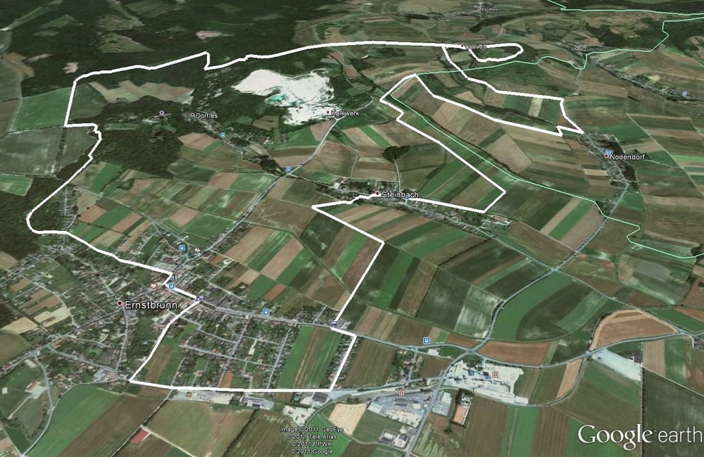
Tour map and elevation profile
Minimum height 254 m
Maximum height 457 m
More about the tour author
|
|
LeiseRadler |
Comments

GPS tracks
Trackpoints-
GPX / Garmin Map Source (gpx) download
-
TCX / Garmin Training Center® (tcx) download
-
CRS / Garmin Training Center® (crs) download
-
Google Earth (kml) download
-
G7ToWin (g7t) download
-
TTQV (trk) download
-
Overlay (ovl) download
-
Fugawi (txt) download
-
Kompass (DAV) Track (tk) download
-
Track data sheet (pdf) download
-
Original file of the author (gpx) download
More about the tour author
|
|
LeiseRadler |
Add to my favorites
Remove from my favorites
Edit tags
Open track
My score
Rate