


Dieser Rundkurs führt ab Wiener Neudorf durch die Felder zwischen Himberg und Ebergassing. In diesem Bereich sind die Feldwege naturbelassen.
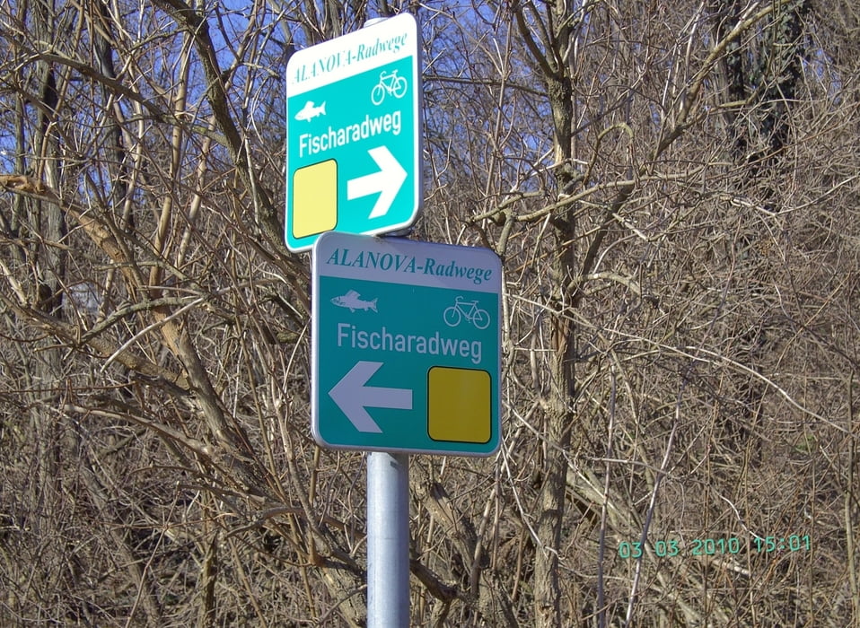
Routenbezeichnunge gibt es in diesem Bereich nur wenige, siehe dazu die entsprechenden Bilder.
Da die Höhenangaben meines Garmingeätes EDGE 705 leider falsche Werte geliefert hat, hab ich das tatsächliche Streckenprofil als Bild dargestellt.
Further information at
http://de.wikipedia.org/wiki/Bezirk_Wien-UmgebungTour gallery
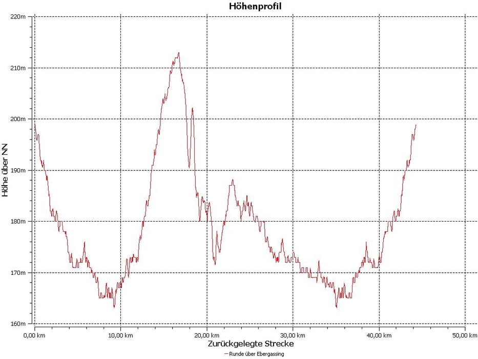
Tour map and elevation profile
Minimum height 101 m
Maximum height 157 m
More about the tour author

|
efelber |
Comments

Die Tour startet und endet beim alten Feuerwehrhaus in Wiener Neudorf.
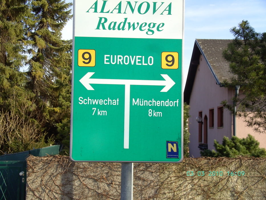
In Himberg quert die Route den Eurovelo 9, aus Wien kommend kann hier in die Tour eingestiegen werden.
Der Rundkurs verkürzt sich dadurch um ca 20 km.
GPS tracks
Trackpoints-
GPX / Garmin Map Source (gpx) download
-
TCX / Garmin Training Center® (tcx) download
-
CRS / Garmin Training Center® (crs) download
-
Google Earth (kml) download
-
G7ToWin (g7t) download
-
TTQV (trk) download
-
Overlay (ovl) download
-
Fugawi (txt) download
-
Kompass (DAV) Track (tk) download
-
Track data sheet (pdf) download
-
Original file of the author (gpx) download
More about the tour author
|
|
efelber |
Add to my favorites
Remove from my favorites
Edit tags
Open track
My score
Rate