Login

Forgot your login?

Cookies have to be accepted!
Your browser's cookie functionality is disabled. Please enable this functionality.

Not a member yet?

Register now
Login

Available for registred users only

Log in to use this feature.

Forgot your login?

Cookies have to be accepted!
Your browser's cookie functionality is disabled. Please enable this functionality.

Not a member yet?

Register now
Filter
Categories
Advanced filters
  • Distance (km)
  • Height
Save filters Reset filter

TrackRank

QRCode

Technical data

Distance37,7 km Height1154 m Way down1160 m Duration00:00 h:m Date07.03.2010
Scores Author Landscape Fun factor Fitness Technique

Statistics

281 Views Scores 47 Downloads Average
Rate
  • Track data sheet
  • Directions
  • Downloads

La ruta empieza en Sant Julia de Vilatorta, 5km de Vic. Buena parte de ella és por senderos muy divertidos y un poco técnicos. Destaca los majestuosos bosques que cruzaremos.

Se puede hacer todo el año
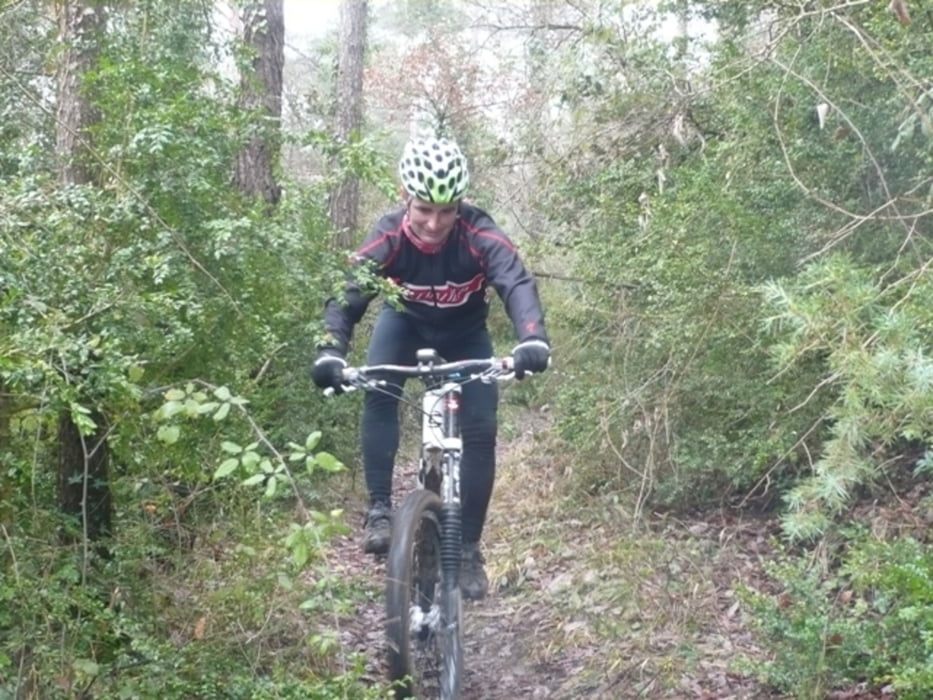
Tour gallery

Tour map and elevation profile

  • Open Street Map
  • Google
Minimum height 524 m Maximum height 880 m Detailed view

More about the tour author

marri
Member since 2010

Send private message

Comments

GPS tracks

Trackpoints
  • GPX / Garmin Map Source (gpx) download
  • TCX / Garmin Training Center® (tcx) download
  • CRS / Garmin Training Center® (crs) download
  • Google Earth (kml) download
  • G7ToWin (g7t) download
  • TTQV (trk) download
  • Overlay (ovl) download
  • Fugawi (txt) download
  • Kompass (DAV) Track (tk) download
  • Track data sheet (pdf) download
  • Original file of the author (gpx) download

More about the tour author

marri
Member since 2010

Send private message
Share track
Add to my favorites
Remove from my favorites
Edit tags
My score
Rate
Track: SANT JULIA -VILADRAU
Type: Mountain bike
Distance: 37,7 km
Evaluated on:
Duration:
Day(s)
Hour(s)
Minute(s)
Score: Landscape Fun factor Fitness Technique