
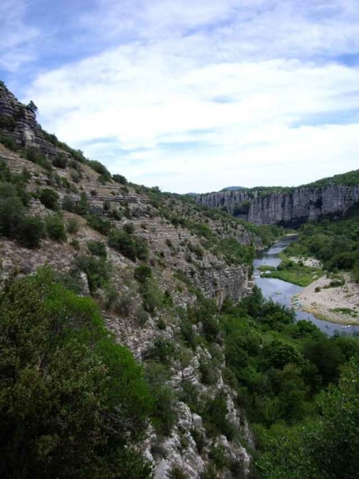

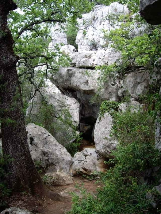
Wanderung oberhalb der steilen (nicht geeignet für Kinder) Felswandschluchten des Chassezac und durch den beeindruckenden Steinwald. Teilweise klettern über Felsen und wandern auf steinigen Pfaden, festes Schuhwerk empfohlen. Im Tal liegt der Chassezac, ein wunderschöner Nebenfluß der Ardèche mit mehreren schönen Badestellen.
Weiterführender Link auf Französisch
Weiterführender Link auf Französisch
Further information at
http://www.chez.com/lieuxinsolites/ardeche/paiolive/paiolive.phpTour gallery
Tour map and elevation profile
Minimum height 119 m
Maximum height 245 m
More about the tour author

|
christiankrier |
Comments

GPS tracks
Trackpoints-
GPX / Garmin Map Source (gpx) download
-
TCX / Garmin Training Center® (tcx) download
-
CRS / Garmin Training Center® (crs) download
-
Google Earth (kml) download
-
G7ToWin (g7t) download
-
TTQV (trk) download
-
Overlay (ovl) download
-
Fugawi (txt) download
-
Kompass (DAV) Track (tk) download
-
Track data sheet (pdf) download
-
Original file of the author (gpx) download
More about the tour author
|
|
christiankrier |
Add to my favorites
Remove from my favorites
Edit tags
Open track
My score
Rate