


Einfache Skitour grösstenteils über Fahrwege
Zu Beginn geht es die Rodelstrecke von Kappl hinauf, ehe es oberhalb des Sesladbaches nach NW abzweigt. Die zweite Hälfte der Tour im offener werdenden Tal des Sesladbaches steigt steigt noch einmal seicht 200 HM an.
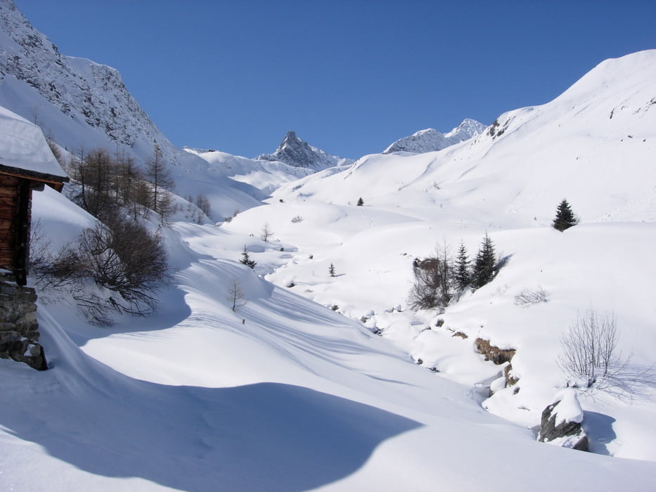
Tour gallery
Tour map and elevation profile
Minimum height 1289 m
Maximum height 1906 m
More about the tour author

|
schmirk |
Comments

Von Kappl Ortszentrum der kleinen Strasse am Hang ca. 1.2 km taleinwärts folgen (nicht die Hauptstrasse im Tal!) bis zur Rodelstrecke. Es gibt keine geeigneten Parkmöglichkeiten.
GPS tracks
Trackpoints-
GPX / Garmin Map Source (gpx) download
-
TCX / Garmin Training Center® (tcx) download
-
CRS / Garmin Training Center® (crs) download
-
Google Earth (kml) download
-
G7ToWin (g7t) download
-
TTQV (trk) download
-
Overlay (ovl) download
-
Fugawi (txt) download
-
Kompass (DAV) Track (tk) download
-
Track data sheet (pdf) download
-
Original file of the author (gpx) download
More about the tour author
|
|
schmirk |
Add to my favorites
Remove from my favorites
Edit tags
Open track
My score
Rate