Login

Forgot your login?

Cookies have to be accepted!
Your browser's cookie functionality is disabled. Please enable this functionality.

Not a member yet?

Register now
Login

Available for registred users only

Log in to use this feature.

Forgot your login?

Cookies have to be accepted!
Your browser's cookie functionality is disabled. Please enable this functionality.

Not a member yet?

Register now
Filter
Categories
Advanced filters
  • Distance (km)
  • Height
Save filters Reset filter

TrackRank

QRCode

Technical data

Distance62,1 km Height2115 m Way down2115 m Duration00:00 h:m Date14.03.2010
Scores Author User Landscape Fun factor Fitness Technique

Statistics

1249 Views 3 Scores 234 Downloads 4.33 Average
Rate
  • Track data sheet
  • Directions
  • Downloads

Große Mountainbikerunde im Westen Kemptens

Start:

  • Parkplatz an der B12 bei Hellengerst
  •  bei Hub nach rechts auf das Sonneneck
  • an der Ruine Alttrauchburg vorbei nach Kleinweiler hinab
  • Auffahrt zum Schwarzen Grat
  • Abfahrt ins Eschachthal
  • am Gasthof Batschen vorbei gehts wieder hoch zu kl. Schwedenschanze
  • über Wölfsberg und Wirtsberg hinunter nach Schmidsfelden
  • Auffahrt nach Walkenberg und durch den Hohentanner Wald
  • über Wiggensbach und Buchenberg zurück zum Ausgangspunkt
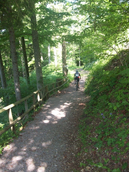
Tour gallery

Tour map and elevation profile

  • Open Street Map
  • Google
Minimum height 735 m Maximum height 1100 m Detailed view

More about the tour author

Staudenbiker
Member since 2009

Send private message

Comments

thomas88453 on 11.09.2010

Höhenmeter

Schöne Runde, nur die Höhenmeter solltest Du korrigieren, laut meinem Polar CS600 sind es "nur" 1350hm. Grüße, Thomas

GPS tracks

Trackpoints
  • GPX / Garmin Map Source (gpx) download
  • TCX / Garmin Training Center® (tcx) download
  • CRS / Garmin Training Center® (crs) download
  • Google Earth (kml) download
  • G7ToWin (g7t) download
  • TTQV (trk) download
  • Overlay (ovl) download
  • Fugawi (txt) download
  • Kompass (DAV) Track (tk) download
  • Track data sheet (pdf) download
  • Original file of the author (gpx) download

More about the tour author

Staudenbiker
Member since 2009

Send private message
Share track
Add to my favorites
Remove from my favorites
Edit tags
My score
Rate
Track: Rund um den Buchenberg
Type: Mountain bike
Distance: 62,1 km
Evaluated on:
Duration:
Day(s)
Hour(s)
Minute(s)
Score: Landscape Fun factor Fitness Technique