


Die genaue Beschreibung gibts beim Link am Schluss!
Andersrum ist der Downhill besser, ansonsten:
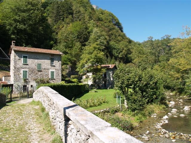
Follow the track!
Andersrum ist der Downhill besser, ansonsten:
Follow the track!
Further information at
http://www.menaggio.com/deu/itinerari-bike1.phpTour gallery
Tour map and elevation profile
Minimum height 220 m
Maximum height 664 m
More about the tour author

|
veste |
Comments

Abfahrt Landeck -> St. Moritz -> Lago di Como -> Menaggio
Parken: direkt in Menaggio
Parken: direkt in Menaggio
GPS tracks
Trackpoints-
GPX / Garmin Map Source (gpx) download
-
TCX / Garmin Training Center® (tcx) download
-
CRS / Garmin Training Center® (crs) download
-
Google Earth (kml) download
-
G7ToWin (g7t) download
-
TTQV (trk) download
-
Overlay (ovl) download
-
Fugawi (txt) download
-
Kompass (DAV) Track (tk) download
-
Track data sheet (pdf) download
-
Original file of the author (gpx) download
More about the tour author
|
|
veste |
Add to my favorites
Remove from my favorites
Edit tags
Open track
My score
Rate