Login

Forgot your login?

Cookies have to be accepted!
Your browser's cookie functionality is disabled. Please enable this functionality.

Not a member yet?

Register now
Login

Available for registred users only

Log in to use this feature.

Forgot your login?

Cookies have to be accepted!
Your browser's cookie functionality is disabled. Please enable this functionality.

Not a member yet?

Register now
Filter
Categories
Advanced filters
  • Distance (km)
  • Height
Save filters Reset filter

TrackRank

QRCode

Technical data

Distance32,4 km Height1012 m Way down1005 m Duration02:59 h:m Date21.03.2010
Scores Author User Landscape Fun factor Fitness Technique

Statistics

1177 Views 1 Score 162 Downloads 4.00 Average
Rate
  • Track data sheet
  • Directions
  • Downloads

Ich habe an den Schnittstellen der Tour zur besseren Orientierung die Wegpunkte gesetzt und durchnummeriert.
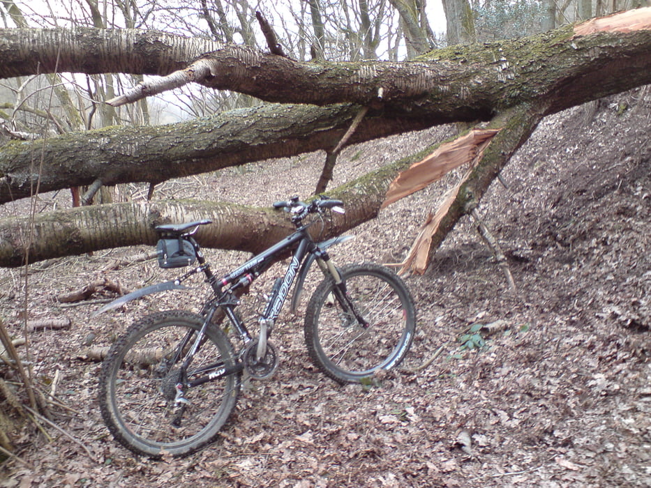
Tour gallery

Tour map and elevation profile

  • Open Street Map
  • Google
Minimum height 102 m Maximum height 287 m Detailed view

More about the tour author

phboi07
Member since 2009

Send private message

Comments

mxr on 14.05.2015

Schöne, abwechslungsreiche Tour

Schöne und abwechslungsreiche Tour. Die zusätzlichen Wegpunkte sind hilfreich. Vielen Dank an den Autor für Einstellen.


Start ist auf dem Parkplatz an der Bayersporthalle in der Rutenbeck, Unten vorm Steeg


GPS tracks

Trackpoints
  • GPX / Garmin Map Source (gpx) download
  • TCX / Garmin Training Center® (tcx) download
  • CRS / Garmin Training Center® (crs) download
  • Google Earth (kml) download
  • G7ToWin (g7t) download
  • TTQV (trk) download
  • Overlay (ovl) download
  • Fugawi (txt) download
  • Kompass (DAV) Track (tk) download
  • Track data sheet (pdf) download
  • Original file of the author (gpx) download

More about the tour author

phboi07
Member since 2009

Send private message
Share track
Add to my favorites
Remove from my favorites
Edit tags
My score
Rate
Track: Verkürzte und optimierte Wuppertal Solingen Hügeltour
Type: Mountain bike
Distance: 32,4 km
Evaluated on:
Duration:
Day(s)
Hour(s)
Minute(s)
Score: Landscape Fun factor Fitness Technique