


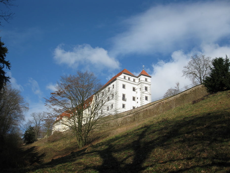
Meißen ist nicht nur wegen der Porzellanmanufaktur, der Albrechtsburg, der romantische Altstadt oder seines Weins ein toutistisches Kleinod. Sein Umgebung birgt unzählige landschaftliche Schönheiten.
Further information at
http://www.stadt-meissen.deTour gallery
Tour map and elevation profile
Minimum height 91 m
Maximum height 269 m
More about the tour author
|
|
DieAlten |
Comments

Meißen ist mit Bus, Bahn, Schiff dem eigenen Kfz oder über den Elbradweg per Fahrrad erreichbar, In jedem Falle ist der als Ausgangspunkt gegebene Parkplatz (mit übrigens moderaten Gebührem) leicht erreichbar.
GPS tracks
Trackpoints-
GPX / Garmin Map Source (gpx) download
-
TCX / Garmin Training Center® (tcx) download
-
CRS / Garmin Training Center® (crs) download
-
Google Earth (kml) download
-
G7ToWin (g7t) download
-
TTQV (trk) download
-
Overlay (ovl) download
-
Fugawi (txt) download
-
Kompass (DAV) Track (tk) download
-
Track data sheet (pdf) download
-
Original file of the author (gpx) download
More about the tour author
|
|
DieAlten |
Add to my favorites
Remove from my favorites
Edit tags
Open track
My score
Rate