


Start unterhalb des Sendemast Niefern Vorort
Die Runde kreuzt 3 Täler (Enztal/Würmtal/Kirnbachtal)
Von Niefern Vorort geht es Richtung Eutingen und dann auf den Enztalradweg Richtung Pforzheim genauer gesagt, bis zum Kupferhammer, wo man dann ins Würmtal gelangt. Auf dem Würmtalradweg fährt man dann bis zum Abzweig Burgruine Liebeneck. Anschließend über den Tiefenbronner Wald in Richtung Kirnbachtal.Durch dieses gelangt man dann wieder nach Niefern und zurück zum Ausgangspunkt der Tour.
Viel Spass beim Nachfahren !!!
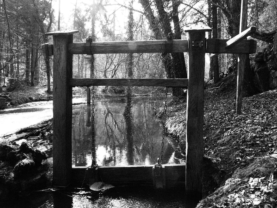
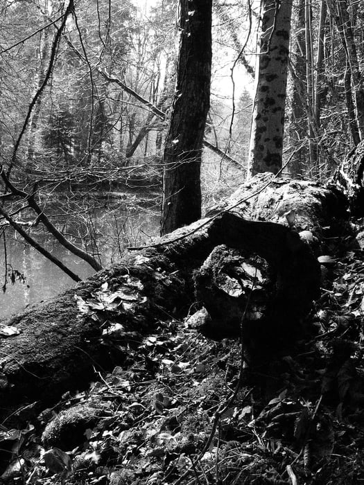
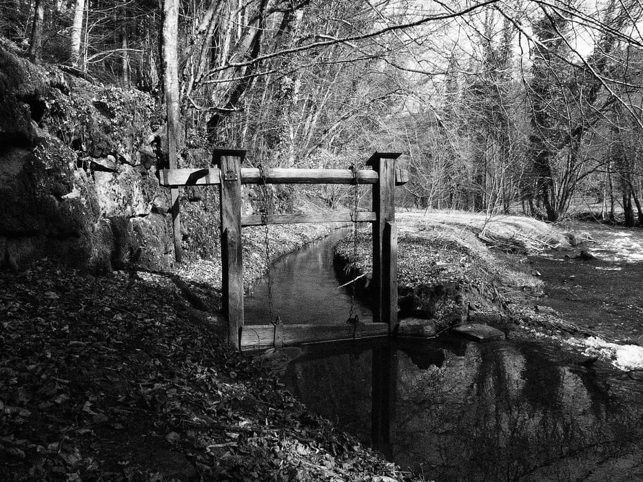
Tour gallery
Tour map and elevation profile
Minimum height 239 m
Maximum height 490 m
More about the tour author
|
|
ambaibiker |
Comments

GPS tracks
Trackpoints-
GPX / Garmin Map Source (gpx) download
-
TCX / Garmin Training Center® (tcx) download
-
CRS / Garmin Training Center® (crs) download
-
Google Earth (kml) download
-
G7ToWin (g7t) download
-
TTQV (trk) download
-
Overlay (ovl) download
-
Fugawi (txt) download
-
Kompass (DAV) Track (tk) download
-
Track data sheet (pdf) download
-
Original file of the author (gpx) download
More about the tour author
|
|
ambaibiker |
Add to my favorites
Remove from my favorites
Edit tags
Open track
My score
Rate