


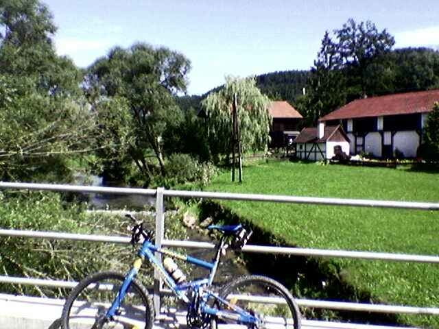
Diese anspruchsvolle Tour führt vorbei an der Wintermühle nach Reichenstein. Vorbei an der Ruine Reichenstein flussaufwärts an den rechten Hängen in Richtung Erdleiten bis eine Forststraße entlang dem Haselbach uns wieder in das Aisttal zurück führt. Weiter geht es entlang der Aist und dem Stampfenbach bis zur Pibersmühle, wo die Tour links in einen Forstweg nach Schnabling einbiegt. Von Schnabling führt die Tour in Richtung Fürling, Elz und nach Kefermarkt weiter. Hier lädt der Gastgarten der Schloßbrauerei zu einer Rast ein. Von Kefermarkt geht zuerst ca. 1 km weiter entlang der Waldaist und schließlich wieder bergauf zum Ausgangspunkt. Zwischen Schnabling und Fürling kann auch alternativ nur auf der Straße gefahren werden, da die gefahrene Tour über kurze Strecken auf Wiesenwegen führt und diese nicht immer befahrbar sind!
Further information at
http://www.bike-4-fun.atTour gallery
Tour map and elevation profile
Minimum height 360 m
Maximum height 812 m
More about the tour author
|
|
franz.resch |
Comments

Von Linz in Richtung Freistadt auf der B310 bis ca. 2 km vor Neumarkt zum Ausgangspunkt.
GPS tracks
Trackpoints-
GPX / Garmin Map Source (gpx) download
-
TCX / Garmin Training Center® (tcx) download
-
CRS / Garmin Training Center® (crs) download
-
Google Earth (kml) download
-
G7ToWin (g7t) download
-
TTQV (trk) download
-
Overlay (ovl) download
-
Fugawi (txt) download
-
Kompass (DAV) Track (tk) download
-
Track data sheet (pdf) download
-
Original file of the author (gpx) download
More about the tour author
|
|
franz.resch |
Add to my favorites
Remove from my favorites
Edit tags
Open track
My score
Rate