


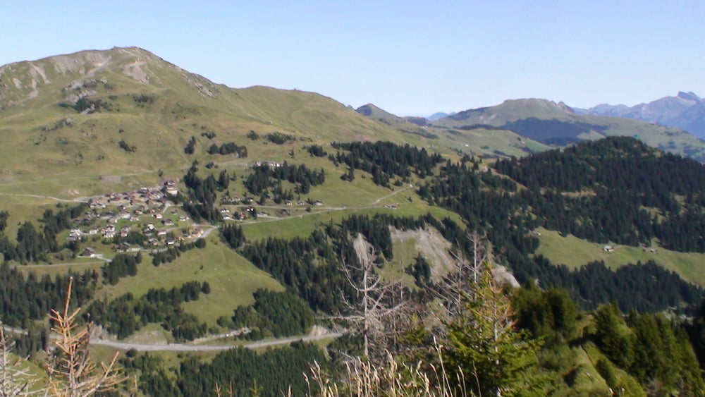
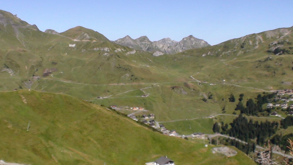
Ausgangspunkt ist das Chalet ONU. Dann geht es zur Croix de Culet. Hier geniessen wir einen phantastischen Rundblick über das Skigebiet von les Portes du Soleil auf der einen Seite, und Champery auf der anderen Seite.
Weiter geht es bis zur Skistation les Croset, dann Bergab Richtung sur Cou. Wir kehren in der Cantine sur Coux ein und geniessen lokale Spezialitäten.
Oberhalb von Champery geht es zurück zu unserem Ausgangspunkt
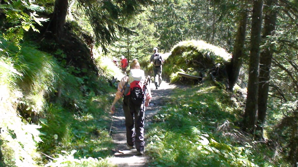
Tour gallery

Tour map and elevation profile
Minimum height 1667 m
Maximum height 1941 m
More about the tour author
|
|
pmhilzi |
Comments

GPS tracks
Trackpoints-
GPX / Garmin Map Source (gpx) download
-
TCX / Garmin Training Center® (tcx) download
-
CRS / Garmin Training Center® (crs) download
-
Google Earth (kml) download
-
G7ToWin (g7t) download
-
TTQV (trk) download
-
Overlay (ovl) download
-
Fugawi (txt) download
-
Kompass (DAV) Track (tk) download
-
Track data sheet (pdf) download
-
Original file of the author (gpx) download
More about the tour author
|
|
pmhilzi |
Add to my favorites
Remove from my favorites
Edit tags
Open track
My score
Rate