Login

Forgot your login?

Cookies have to be accepted!
Your browser's cookie functionality is disabled. Please enable this functionality.

Not a member yet?

Register now
Login

Available for registred users only

Log in to use this feature.

Forgot your login?

Cookies have to be accepted!
Your browser's cookie functionality is disabled. Please enable this functionality.

Not a member yet?

Register now
Filter
Categories
Advanced filters
  • Distance (km)
  • Height
Save filters Reset filter

TrackRank

QRCode

Technical data

Distance35,0 km Height728 m Way down731 m Duration02:40 h:m Date02.04.2010
Scores Author User Landscape Fun factor Fitness Technique

Statistics

488 Views 1 Score 79 Downloads 3.00 Average
Rate
  • Track data sheet
  • Directions
  • Downloads

Strecke:
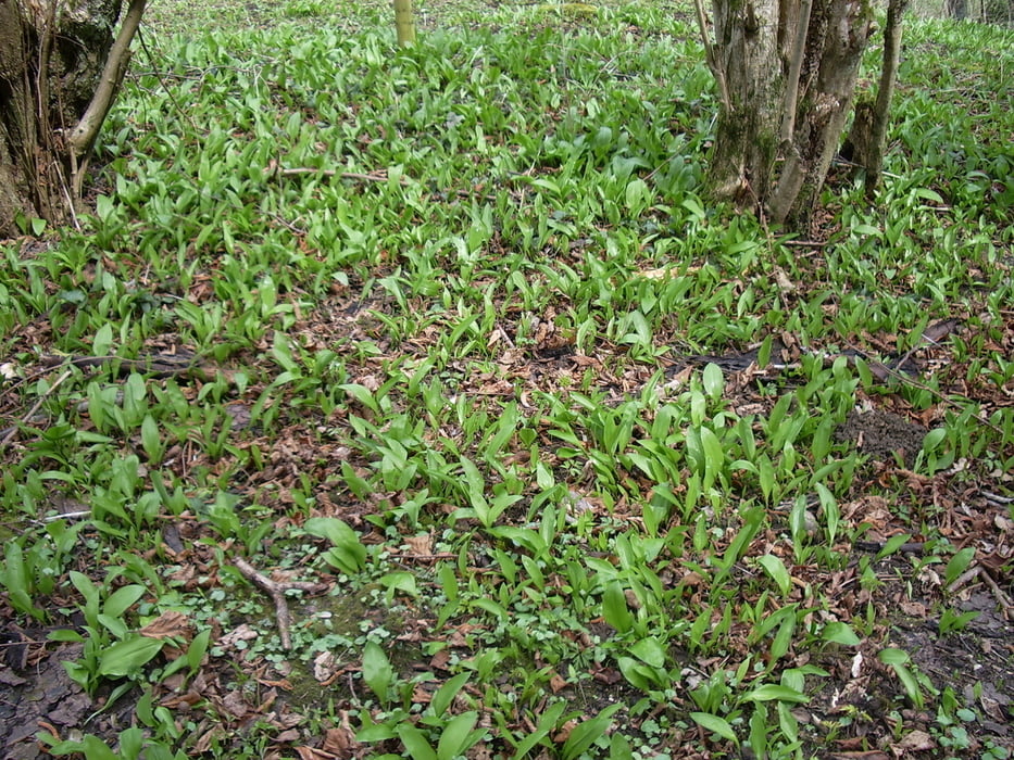
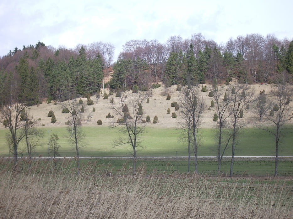
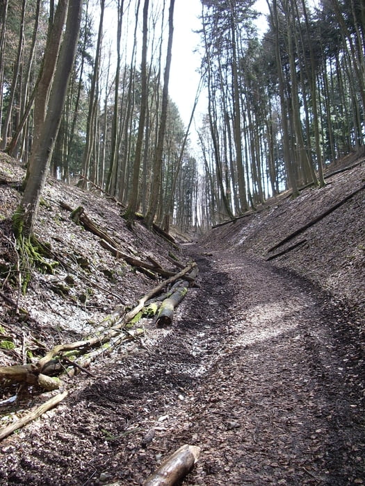
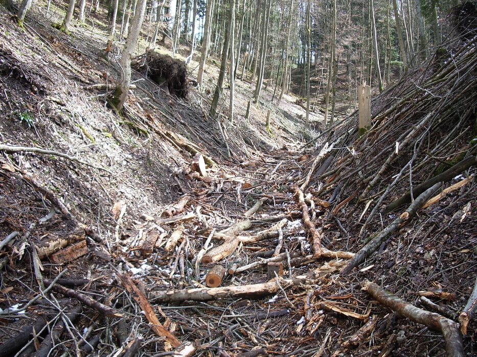
Goldersberg, Stich, Zollersteighof, Thanheim, Bisingen, Balingen. Überwiegend Waldwege.
Von Thanheim bis Balingen auf asphaltierten Wegen (diese Tour ist also nichts für Helden wie den >Fruehausteher<, siehe Kommentar Tour #33233: Balingen-Klippeneck)

Tour gallery

Tour map and elevation profile

  • Open Street Map
  • Google
Minimum height 511 m Maximum height 905 m Detailed view

More about the tour author

wsbl54
Member since 2009

Send private message

Comments

Start und Ziel:
Balingen Heimlichenwasen

GPS tracks

Trackpoints
  • GPX / Garmin Map Source (gpx) download
  • TCX / Garmin Training Center® (tcx) download
  • CRS / Garmin Training Center® (crs) download
  • Google Earth (kml) download
  • G7ToWin (g7t) download
  • TTQV (trk) download
  • Overlay (ovl) download
  • Fugawi (txt) download
  • Kompass (DAV) Track (tk) download
  • Track data sheet (pdf) download
  • Original file of the author (gpx) download

More about the tour author

wsbl54
Member since 2009

Send private message
Share track
Add to my favorites
Remove from my favorites
Edit tags
My score
Rate
Track: Zollersteige
Type: Mountain bike
Distance: 35,0 km
Evaluated on:
Duration:
Day(s)
Hour(s)
Minute(s)
Score: Landscape Fun factor Fitness Technique