
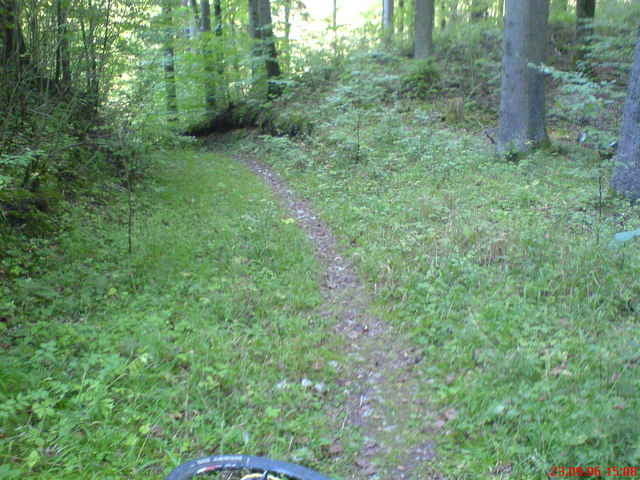

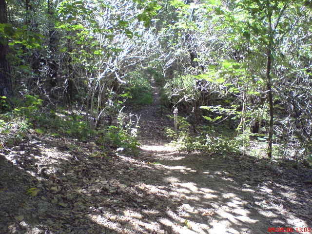
Short but very fun route. Lots of Singletrack. Very technical and fun with lots of short, steep climbs and crazy-fun downhills. A few short sections where you'll have to carry the bike.
The ride starts with a 1km dirt road section, then begins following the singletrack through the woods. You'll eventually end up at the Maximillian Grotto (1/2 way point). There are lots of cool cliffs, rock formations, and a lots of climbing options around here also (some bolted, some not).
All in all its an absolutely great route through some of the coolest rocks in the area. Only drawback is there are a few short sections along a rather busy road, but no big deal.
----------------------------------------------------
Kurz aber aufregende Trail. "Singletrack"!!!
Viele singletrack und Wurzeln. Etwas technisch und sehr Spaßvoll mit steilen rampen und anspruchvoll Downhill. Einige kurze schiebe passagen.
Schone Klippen und Aussichten.
Viel Spass,
Adam
Tour gallery
Tour map and elevation profile
Minimum height 448 m
Maximum height 554 m
More about the tour author
|
|
adamschlang |
Comments

Parkplatz auf B85
GPS tracks
Trackpoints-
GPX / Garmin Map Source (gpx) download
-
TCX / Garmin Training Center® (tcx) download
-
CRS / Garmin Training Center® (crs) download
-
Google Earth (kml) download
-
G7ToWin (g7t) download
-
TTQV (trk) download
-
Overlay (ovl) download
-
Fugawi (txt) download
-
Kompass (DAV) Track (tk) download
-
Track data sheet (pdf) download
-
Original file of the author (gpx) download
More about the tour author
|
|
adamschlang |
Add to my favorites
Remove from my favorites
Edit tags
Open track
My score
Rate