Login

Forgot your login?

Cookies have to be accepted!
Your browser's cookie functionality is disabled. Please enable this functionality.

Not a member yet?

Register now
Login

Available for registred users only

Log in to use this feature.

Forgot your login?

Cookies have to be accepted!
Your browser's cookie functionality is disabled. Please enable this functionality.

Not a member yet?

Register now
Filter
Categories
Advanced filters
  • Distance (km)
  • Height
Save filters Reset filter

TrackRank

QRCode

Technical data

Distance42,1 km Height1468 m Way down1417 m Duration00:00 h:m Date15.09.2006
Scores Author User Landscape Fun factor Fitness Technique

Statistics

4691 Views 3 Scores 865 Downloads 3.67 Average
Rate
  • Track data sheet
  • Directions
  • Downloads
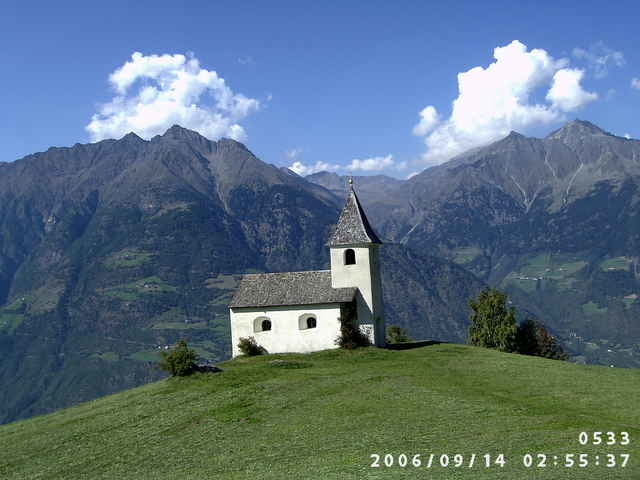
schöne Rundtour auf guten Forststraßen bei Naturns im Vinschgau

Tour map and elevation profile

  • Open Street Map
  • Google
Minimum height 567 m Maximum height 1974 m Detailed view

More about the tour author

yr1willi
Member since 2006

Send private message

Comments

Bernhard on 17.09.2007

Tolle Tour, für Trail-Freaks empfehle ich den Wanderweg 28 + 27. Aber nehmt Rücksicht auf die Wanderer !
von Meran Richtung Reschenpass

GPS tracks

Trackpoints
  • GPX / Garmin Map Source (gpx) download
  • TCX / Garmin Training Center® (tcx) download
  • CRS / Garmin Training Center® (crs) download
  • Google Earth (kml) download
  • G7ToWin (g7t) download
  • TTQV (trk) download
  • Overlay (ovl) download
  • Fugawi (txt) download
  • Kompass (DAV) Track (tk) download
  • Track data sheet (pdf) download
  • Original file of the author (g7t) download

More about the tour author

yr1willi
Member since 2006

Send private message
Share track
Add to my favorites
Remove from my favorites
Edit tags
My score
Rate
Track: Naturnser Alm
Type: Mountain bike
Distance: 42,1 km
Evaluated on:
Duration:
Day(s)
Hour(s)
Minute(s)
Score: Landscape Fun factor Fitness Technique