Login

Forgotten password?

Cookies have to be accepted!
Your browser's cookie functionality is disabled. Please enable this functionality.

Not a member yet?

Register now
Login

Available for registred users only

Log in to use this feature.

Forgotten password?

Cookies have to be accepted!
Your browser's cookie functionality is disabled. Please enable this functionality.

Not a member yet?

Register now
Filter
Categories
Advanced filters
  • Distance (km)
  • Height
Save filters Reset filter

TrackRank

QRCode

Technical data

Distance32,3 km Height546 m Way down539 m Duration02:10 h:m Date03.04.2010
Scores Author Landscape Fun factor Fitness Technique

Statistics

1535 Views 1 Score 334 Downloads 3.00 Average
Rate
  • Track data sheet
  • Directions
  • Downloads

Kleine Runde in der Ebene, da die Berge aufgrund von Schnee kaum befahrbar sind. Landschaflich schön, technisch extrem einfach. Ohne Schnee auch mit ganz normalen Fahrrädern fahrbar.

Ideal auch als kurze gemütliche Feierabendrunde.
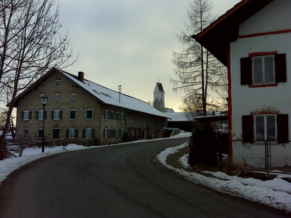
Tour gallery

Tour map and elevation profile

  • Open Street Map
  • Google
Minimum height 618 m Maximum height 796 m Detailed view

More about the tour author

bathens
Member since 2009

Send private message

Comments

Plattfuss69 on 13.06.2010

Schöne Runde

Tatsächliche eine wirklich schöne Runde. Nicht unbedingt herausfordernd und eher eine Tour für Trekkingräder, aber dennoch lohnenswert, wenn man es etwas weniger heftig haben will. Landschaft ist wirklich sehenswert...

Start wie immer am Parkplatz beim Murnauer Strandbad direkt am Staffelsee.

Von der A95 kommend Ausfahrt Sindelsdorf oder Murnau, dann immer in Richtung Murnau und dann runter zum Staffelsee. Dort auf einem der Parkplätze parken.

GPS tracks

Trackpoints
  • GPX / Garmin Map Source (gpx) download
  • TCX / Garmin Training Center® (tcx) download
  • CRS / Garmin Training Center® (crs) download
  • Google Earth (kml) download
  • G7ToWin (g7t) download
  • TTQV (trk) download
  • Overlay (ovl) download
  • Fugawi (txt) download
  • Kompass (DAV) Track (tk) download
  • Track data sheet (pdf) download
  • Original file of the author (gpx) download

More about the tour author

bathens
Member since 2009

Send private message
Share track
Add to my favorites
Remove from my favorites
Edit tags
My score
Rate
Track: Seehausen - Riegsee - Pölten - Höhlmühle - Seehausen
Type: Mountain bike
Distance: 32,3 km
Evaluated on:
Duration:
Day(s)
Hour(s)
Minute(s)
Score: Landscape Fun factor Fitness Technique