


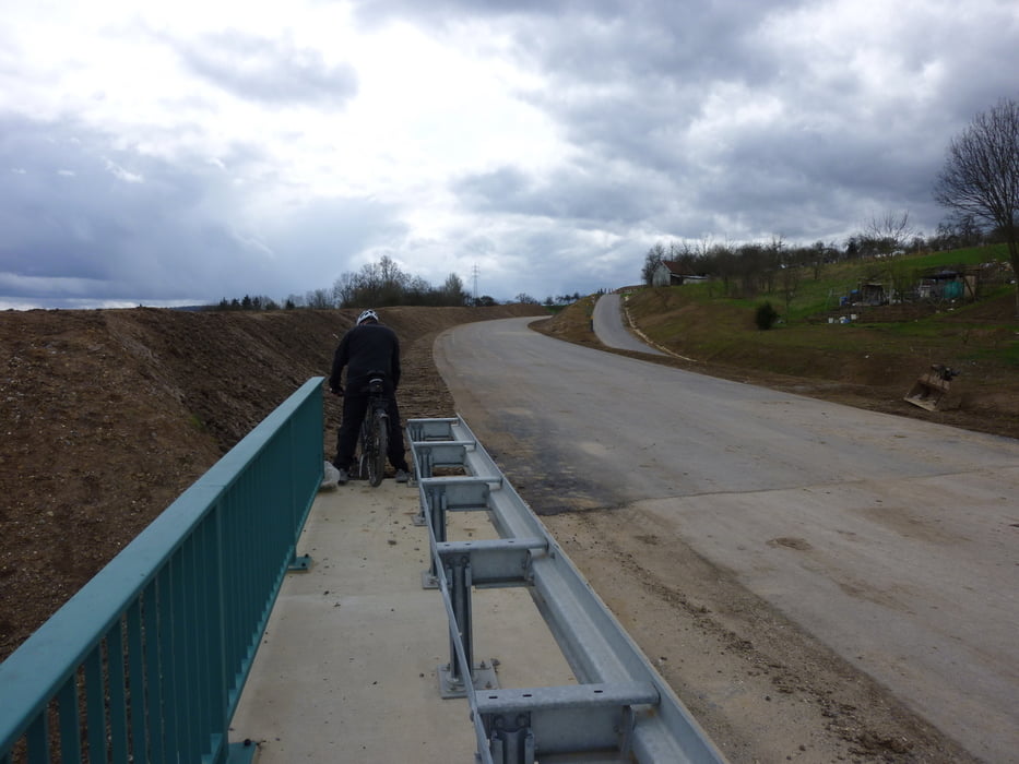
Nette Fettburner Tour nach einer opulenten Osterparty am Samstag Abend. Ausgehend von schorndorf gehts Richtung Urbach. Am Wellingshof rauf in die Remstäler Alpen:-) und auf 400 Meter das herrliche Remstal panoramatechnisch genießen. Nach schöner Fahrt am Kamm entlang auf Höhe von Miedelsbach wieder runter, um dann auf der noch geschlossenen, aber für Fußgänger und Radler passierbaren neuen Haubersbronner Umgehungststraße Richtung Schorndorf zurück zu radeln.
Tour gallery


Tour map and elevation profile
Minimum height 250 m
Maximum height 402 m
More about the tour author

|
Guddy |
Comments

GPS tracks
Trackpoints-
GPX / Garmin Map Source (gpx) download
-
TCX / Garmin Training Center® (tcx) download
-
CRS / Garmin Training Center® (crs) download
-
Google Earth (kml) download
-
G7ToWin (g7t) download
-
TTQV (trk) download
-
Overlay (ovl) download
-
Fugawi (txt) download
-
Kompass (DAV) Track (tk) download
-
Track data sheet (pdf) download
-
Original file of the author (gpx) download
More about the tour author
|
|
Guddy |
Add to my favorites
Remove from my favorites
Edit tags
Open track
My score
Rate