


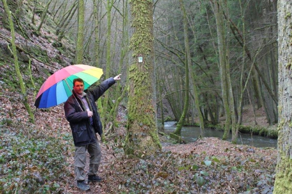
An einem verregneten Ostersonntag starteten wir in Landscheid. Unser Weg führte uns hinab ins Tal der schönen Salm. Der gut ausgezeichnete Eifelsteig folgt dem Lauf der Salm, vorbei an einsamen Mühlen und schmalen Pfaden folgend erreicht man am Ende des Tals die Straße nach Landscheid. Hier geht`s leider ein Stück an der Straße entlang zurück nach Landscheid. Eine kleine Rundwanderung ohne große Schwierigkeiten in toller Landschaft.
Tour gallery
Tour map and elevation profile
Minimum height 239 m
Maximum height 326 m
More about the tour author
|
|
Adler1 |
Comments

GPS tracks
Trackpoints-
GPX / Garmin Map Source (gpx) download
-
TCX / Garmin Training Center® (tcx) download
-
CRS / Garmin Training Center® (crs) download
-
Google Earth (kml) download
-
G7ToWin (g7t) download
-
TTQV (trk) download
-
Overlay (ovl) download
-
Fugawi (txt) download
-
Kompass (DAV) Track (tk) download
-
Track data sheet (pdf) download
-
Original file of the author (gpx) download
More about the tour author
|
|
Adler1 |
Add to my favorites
Remove from my favorites
Edit tags
Open track
My score
Rate