

Wunderbare Tour durchs Laabertal.....
Schotter mit wunderbaren Trails gemischt.... nicht zu schwierig.
Nittendorf - Schönhofen - Richtung Alpinensteig -
Achtung! Hier Naturschutzgebiet - Radverbot - quer über die Wiese auf nächste Flurstraße
Eilsbrunn - Unteralling - Bruckdorf - Überquerung der Laaber bei der Mühle - Durchfahrt erlaubt -
dann Hauptstr. 500 m - rechts - Richtung Mattinger Höhen - wunderbare Hänge mit Blick auf die
Donau - Alling - Hardt - Schönhofen - Nittendorf
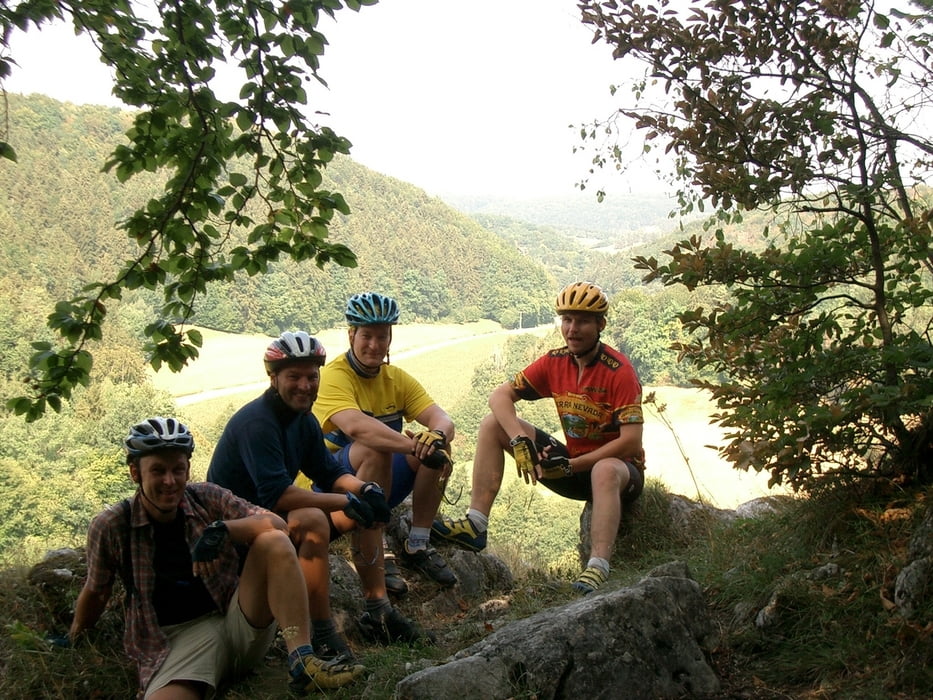
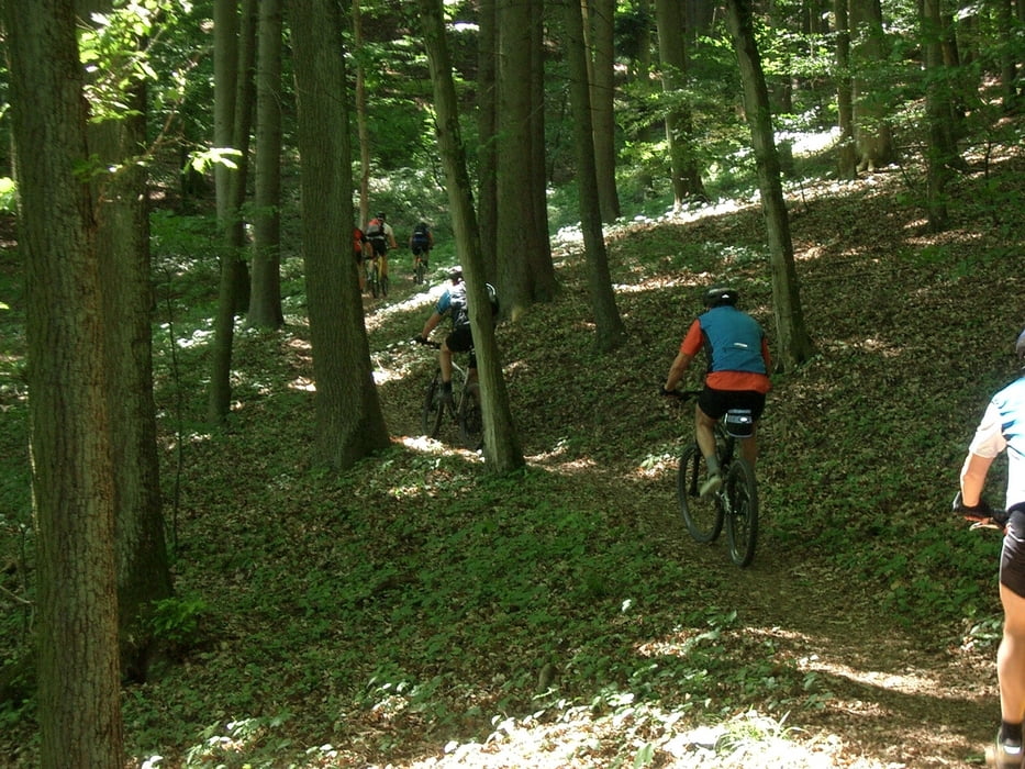
Tour gallery
Tour map and elevation profile
Minimum height 353 m
Maximum height 633 m
More about the tour author
|
|
Monster |
Comments

GPS tracks
Trackpoints-
GPX / Garmin Map Source (gpx) download
-
TCX / Garmin Training Center® (tcx) download
-
CRS / Garmin Training Center® (crs) download
-
Google Earth (kml) download
-
G7ToWin (g7t) download
-
TTQV (trk) download
-
Overlay (ovl) download
-
Fugawi (txt) download
-
Kompass (DAV) Track (tk) download
-
Track data sheet (pdf) download
-
Original file of the author (gpx) download
More about the tour author
|
|
Monster |
Add to my favorites
Remove from my favorites
Edit tags
Open track
My score
Rate