Login

Forgot your login?

Cookies have to be accepted!
Your browser's cookie functionality is disabled. Please enable this functionality.

Not a member yet?

Register now
Login

Available for registred users only

Log in to use this feature.

Forgot your login?

Cookies have to be accepted!
Your browser's cookie functionality is disabled. Please enable this functionality.

Not a member yet?

Register now
Filter
Categories
Advanced filters
  • Distance (km)
  • Height
Save filters Reset filter

TrackRank

QRCode

Technical data

Distance43,3 km Height1398 m Way down1377 m Duration04:30 h:m Date30.05.2004
Scores Author Landscape Fun factor Fitness Technique

Statistics

4780 Views Scores 634 Downloads Average
Rate
  • Track data sheet
  • Directions
  • Downloads
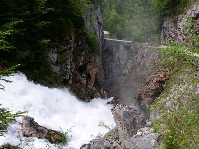
Entlang der Landstraße nach Hallstatt-Echerntal, weiter gehts über den Waldbachstrub und Klausmoos auf die Roßalm - EINKEHRSCHWUNG - über die Grubenalm nach Gosau und entlang des Gosaubachs wieder talauswärts

Further information at

http://www.landhotels.at/agathawirt/

Tour map and elevation profile

  • Open Street Map
  • Google
Minimum height 512 m Maximum height 1498 m Detailed view

More about the tour author

Landhotel Agathawirt
Member since 2004

Send private message

Comments

GPS tracks

Trackpoints
  • GPX / Garmin Map Source (gpx) download
  • TCX / Garmin Training Center® (tcx) download
  • CRS / Garmin Training Center® (crs) download
  • Google Earth (kml) download
  • G7ToWin (g7t) download
  • TTQV (trk) download
  • Overlay (ovl) download
  • Fugawi (txt) download
  • Kompass (DAV) Track (tk) download
  • Track data sheet (pdf) download
  • Original file of the author (g7t) download

More about the tour author

Landhotel Agathawirt
Member since 2004

Send private message
Share track
Add to my favorites
Remove from my favorites
Edit tags
My score
Rate
Track: Gosau-Plassen
Type: Mountain bike
Distance: 43,3 km
Evaluated on:
Duration:
Day(s)
Hour(s)
Minute(s)
Score: Landscape Fun factor Fitness Technique