


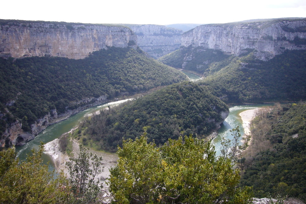
Los geht es in Vallon-Pont-d`Arc auf der D290 in Richtung St. Martin am Gorges de l`Ardeche entlang.
Hinter St. Martin geht es ein kurzes Stück auf der N86 über St Just in Richtung St. Marcel. Zurück geht es über Bidon und Remeze.
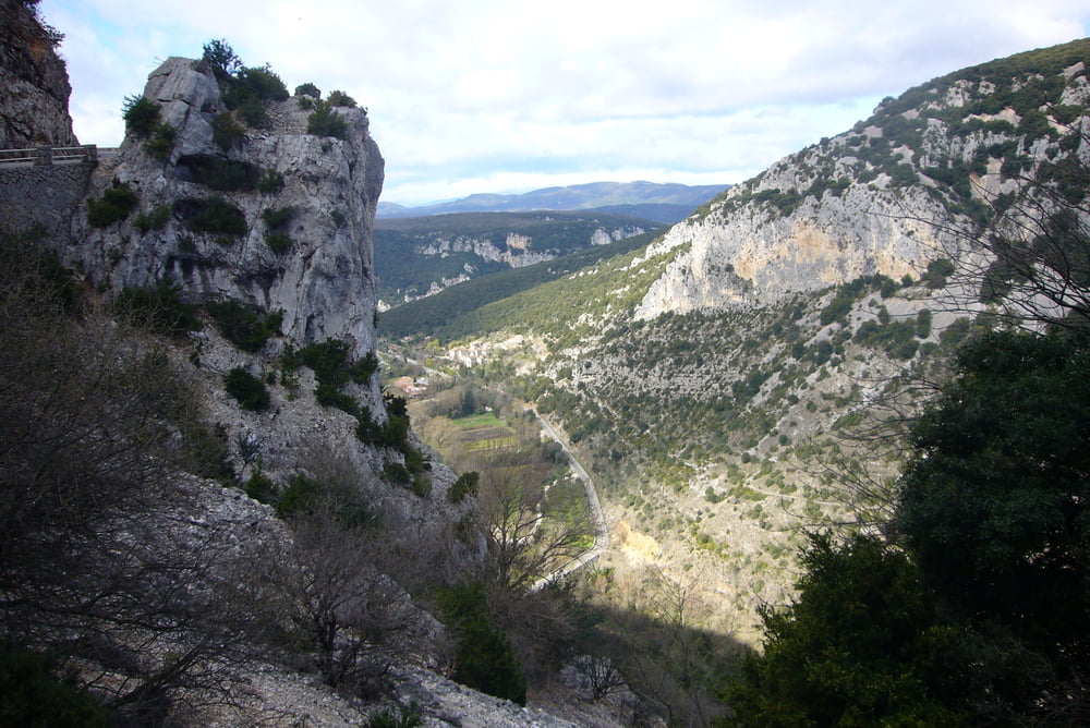
Es folgt eine längere Abfahrt nach Vallon-Pont-d Àrc.
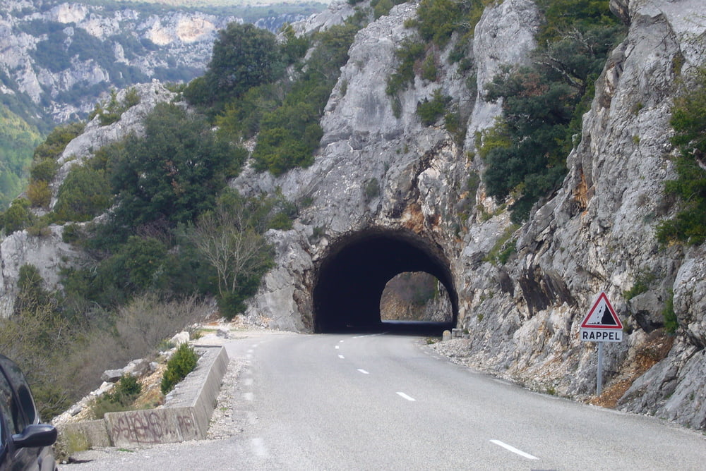
Für die Straße am Gorges de l`Ardeche sollte man Zeit mitbringen um die schönen Aussichten auf dieser Landschaft zu genießen.
Tour gallery
Tour map and elevation profile
Minimum height 39 m
Maximum height 419 m
More about the tour author
|
|
Pluto |
Comments

Aus dem Rhonetal vom Norden kommend von der Autobahn A7 die Ausfahrt Montemilar Nord auf die N7 nachPierrelatte, die D13 nach Bourg St. Andeol, auf die D4 über Remeze nach Vallon-Pont-d`Arc.
Vom Süden die A7 Ausfahrt Bollene auf die D458 Richtung Montemilar, D59 nach St. Bourg St. Andeol, auf die D4 über Remeze nach Vallon-Pont-d`Arc.
GPS tracks
Trackpoints-
GPX / Garmin Map Source (gpx) download
-
TCX / Garmin Training Center® (tcx) download
-
CRS / Garmin Training Center® (crs) download
-
Google Earth (kml) download
-
G7ToWin (g7t) download
-
TTQV (trk) download
-
Overlay (ovl) download
-
Fugawi (txt) download
-
Kompass (DAV) Track (tk) download
-
Track data sheet (pdf) download
-
Original file of the author (gpx) download
More about the tour author
|
|
Pluto |
Add to my favorites
Remove from my favorites
Edit tags
Open track
My score
Rate