Login

Forgot your login?

Cookies have to be accepted!
Your browser's cookie functionality is disabled. Please enable this functionality.

Not a member yet?

Register now
Login

Available for registred users only

Log in to use this feature.

Forgot your login?

Cookies have to be accepted!
Your browser's cookie functionality is disabled. Please enable this functionality.

Not a member yet?

Register now
Filter
Categories
Advanced filters
  • Distance (km)
  • Height
Save filters Reset filter

TrackRank

QRCode

Technical data

Distance37,8 km Height212 m Way down225 m Duration01:51 h:m Date09.04.2010
Scores Author Landscape Fun factor Fitness Technique

Statistics

1481 Views Scores 182 Downloads Average
Rate
  • Track data sheet
  • Directions
  • Downloads

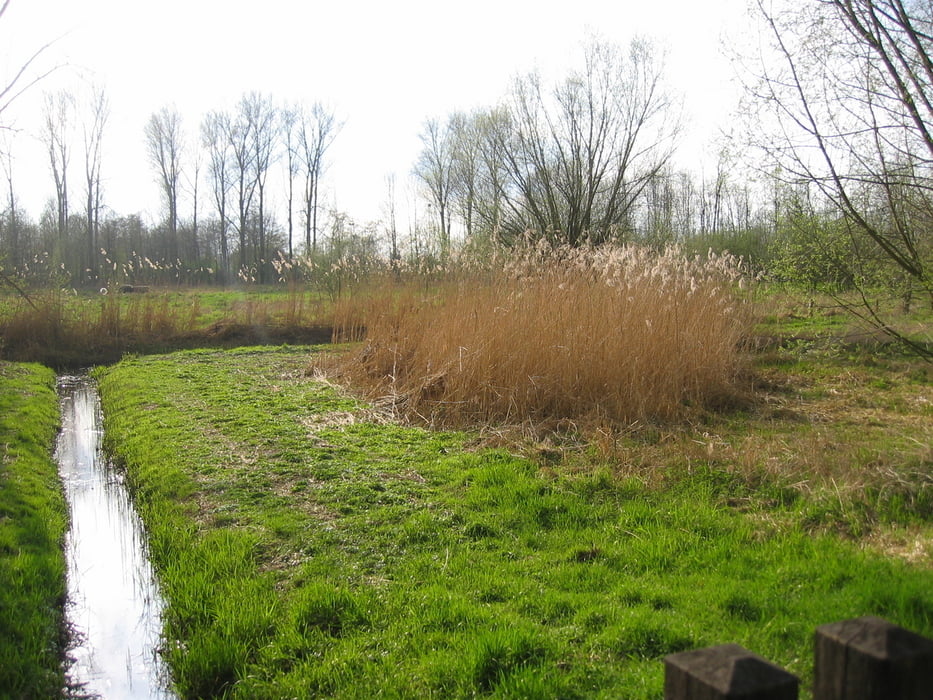
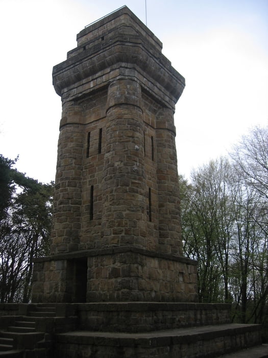
Von Anrath über Süchteln, Oedt entlang der Niers und vorbei am Landeplatz Niershorst Grefrath zum nördlichen Ende der Süchtelner Höhe. Von dort auf den Süchtelner Höhen über Hohenbusch Richtung Viersen bis zum Bismark Turm und zurück nach Anrath.

Tour gallery

Tour map and elevation profile

  • Open Street Map
  • Google
Minimum height -73 m Maximum height 87 m Detailed view

More about the tour author

tomko64
Member since 2010

Send private message

Comments

GPS tracks

Trackpoints
  • GPX / Garmin Map Source (gpx) download
  • TCX / Garmin Training Center® (tcx) download
  • CRS / Garmin Training Center® (crs) download
  • Google Earth (kml) download
  • G7ToWin (g7t) download
  • TTQV (trk) download
  • Overlay (ovl) download
  • Fugawi (txt) download
  • Kompass (DAV) Track (tk) download
  • Track data sheet (pdf) download
  • Original file of the author (gpx) download

More about the tour author

tomko64
Member since 2010

Send private message
Share track
Add to my favorites
Remove from my favorites
Edit tags
My score
Rate
Track: Über die Süchtelner Höhen
Type: Mountain bike
Distance: 37,8 km
Evaluated on:
Duration:
Day(s)
Hour(s)
Minute(s)
Score: Landscape Fun factor Fitness Technique