


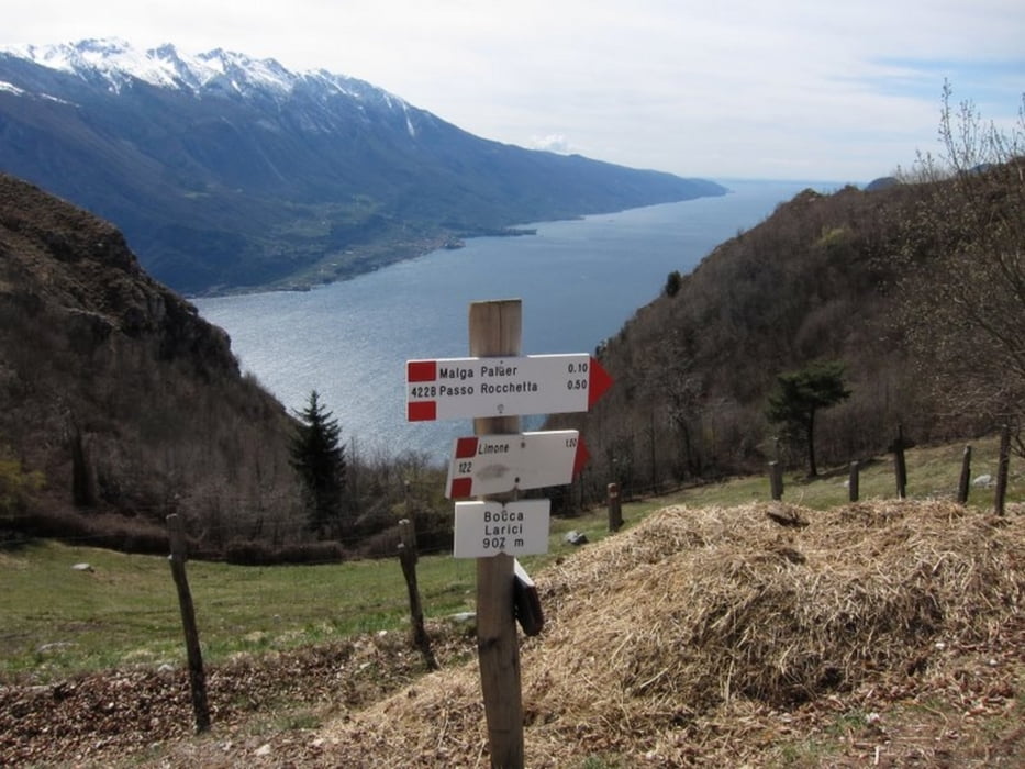
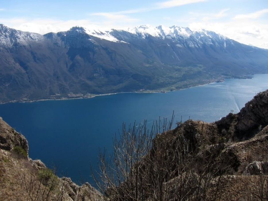
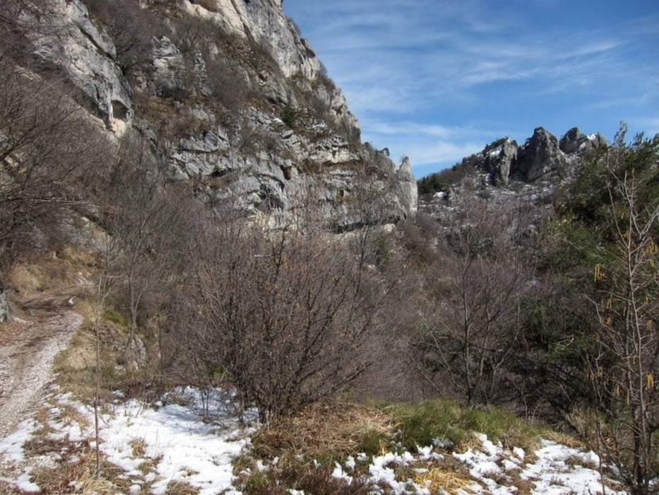
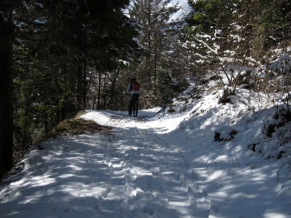
Start ist in Riva del Garda am Beginn der Ponalestrasse nach Pregasina, dieser folgen und in Pregasina in Richtung Passo Rocchetta. Kurz vor der Passhöhe sind einige Schiebepassagen zu bewältigen, wird aber durch die Aussichten an der Passhöhe belohnt, dann geht es weiter in Richtung Passo Nota, am Abzweig in Richtung Bocca dei Fortini, diesem folgen Schöner Forstweg hinunter nach Molina di Ledro. Von Molina aus über den Radweg bis zum Tunnel, dann rechts der alten Polnalestrasse in Richtung Riva del Garda folgen.
Tour gallery
Tour map and elevation profile
Minimum height 79 m
Maximum height 1273 m
More about the tour author
|
|
kmuehlhans |
Comments

GPS tracks
Trackpoints-
GPX / Garmin Map Source (gpx) download
-
TCX / Garmin Training Center® (tcx) download
-
CRS / Garmin Training Center® (crs) download
-
Google Earth (kml) download
-
G7ToWin (g7t) download
-
TTQV (trk) download
-
Overlay (ovl) download
-
Fugawi (txt) download
-
Kompass (DAV) Track (tk) download
-
Track data sheet (pdf) download
-
Original file of the author (gpx) download
More about the tour author
|
|
kmuehlhans |
Add to my favorites
Remove from my favorites
Edit tags
Open track
My score
Rate