

eine wunderschöne Schwarzwaldtour beginnend und endend in Pforzheim auf dem AKS
Parkplatz.
Die Tour verfügt über alles was man sich als Mountainbiker wünscht, Trails, Forstwege, lange Anstiege. Es gibt aber auch einige technische Passagen die man mit ein bißchen Kraft unf Technik bewältigen kann.
Reine Fahrzeit beträgt 7 Std. und 21 min.
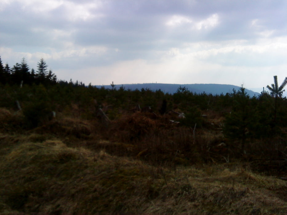
Über den Verlauf will ich aber nicht all zu viel verraten, einfach fahren und die Aussichten über den Schwarzwald genießen.
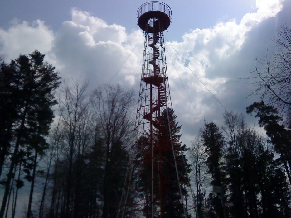
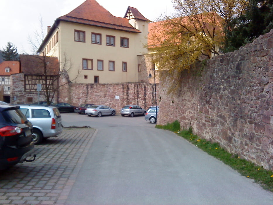
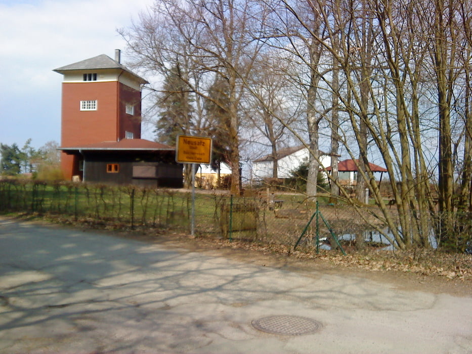
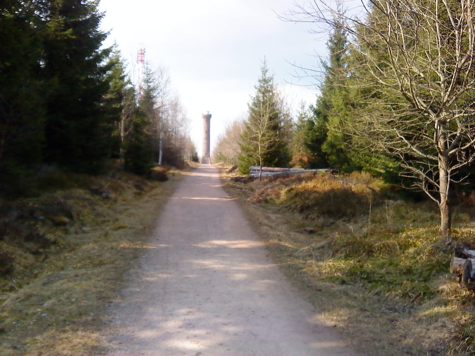
Einige Stationen der Tour: Büchenbronner Aussichtsturm, Schloß Neuenbürg, Bad Herrenalb, Kaltenbronn, Hohlohturm, Grünhütte, Kupferhammer.
Viel Spaß beim Nachfahren.
Tour gallery
Tour map and elevation profile
Minimum height 261 m
Maximum height 993 m
More about the tour author
|
|
lapierre |
Comments

GPS tracks
Trackpoints-
GPX / Garmin Map Source (gpx) download
-
TCX / Garmin Training Center® (tcx) download
-
CRS / Garmin Training Center® (crs) download
-
Google Earth (kml) download
-
G7ToWin (g7t) download
-
TTQV (trk) download
-
Overlay (ovl) download
-
Fugawi (txt) download
-
Kompass (DAV) Track (tk) download
-
Track data sheet (pdf) download
-
Original file of the author (gpx) download
More about the tour author
|
|
lapierre |
Add to my favorites
Remove from my favorites
Edit tags
Open track
My score
Rate