


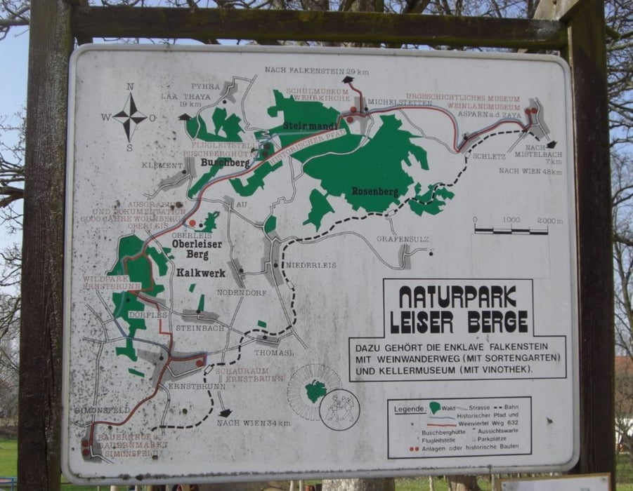
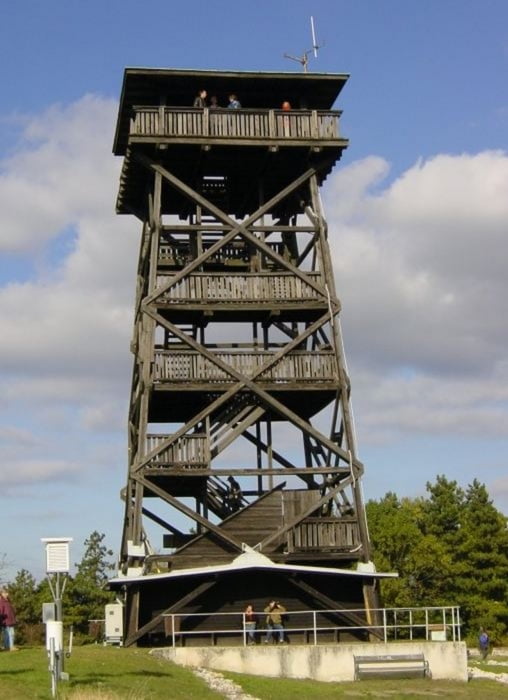
Die Wanderung in der Region der Leiser Berge ist ein Richtiges "Auf und Ab" rund um Ernstbrunn. Alle nennenswerten Erhebungen werden erklommen. Oberleiser Berg - Buschberg - Gemannser Berg und zuletzt der Hausberg.
Der Weg führt dich auch zum Schloss Ernstbrunn.
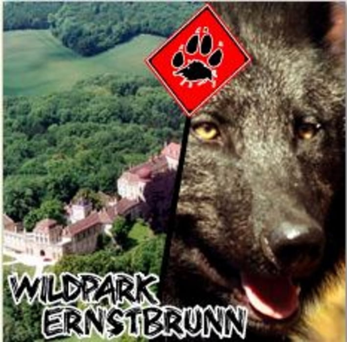
Dabei ist auf jeden Fall ein Besuch im Wildpark und in der Wolfs Station zu empfehlen.
Tour gallery
Tour map and elevation profile
Minimum height 99999 m
Maximum height -99999 m
More about the tour author
|
|
LeiseRadler |
Comments

Start und Ende der Wanderung ist die Pfarrkirch Ernstburnn.
GPS tracks
Trackpoints-
GPX / Garmin Map Source (gpx) download
-
TCX / Garmin Training Center® (tcx) download
-
CRS / Garmin Training Center® (crs) download
-
Google Earth (kml) download
-
G7ToWin (g7t) download
-
TTQV (trk) download
-
Overlay (ovl) download
-
Fugawi (txt) download
-
Kompass (DAV) Track (tk) download
-
Track data sheet (pdf) download
-
Original file of the author (gpx) download
More about the tour author
|
|
LeiseRadler |
Add to my favorites
Remove from my favorites
Edit tags
Open track
My score
Rate