Login

Forgotten password?

Cookies have to be accepted!
Your browser's cookie functionality is disabled. Please enable this functionality.

Not a member yet?

Register now
Login

Available for registred users only

Log in to use this feature.

Forgotten password?

Cookies have to be accepted!
Your browser's cookie functionality is disabled. Please enable this functionality.

Not a member yet?

Register now
Filter
Categories
Advanced filters
  • Distance (km)
  • Height
Save filters Reset filter

TrackRank

QRCode

Technical data

Distance15,1 km Height726 m Way down679 m Duration04:48 h:m Date11.04.2010
Scores Author Landscape Fun factor Fitness Technique

Statistics

1445 Views Scores 47 Downloads Average
Rate
  • Track data sheet
  • Directions
  • Downloads

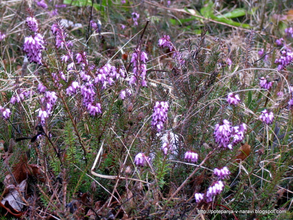
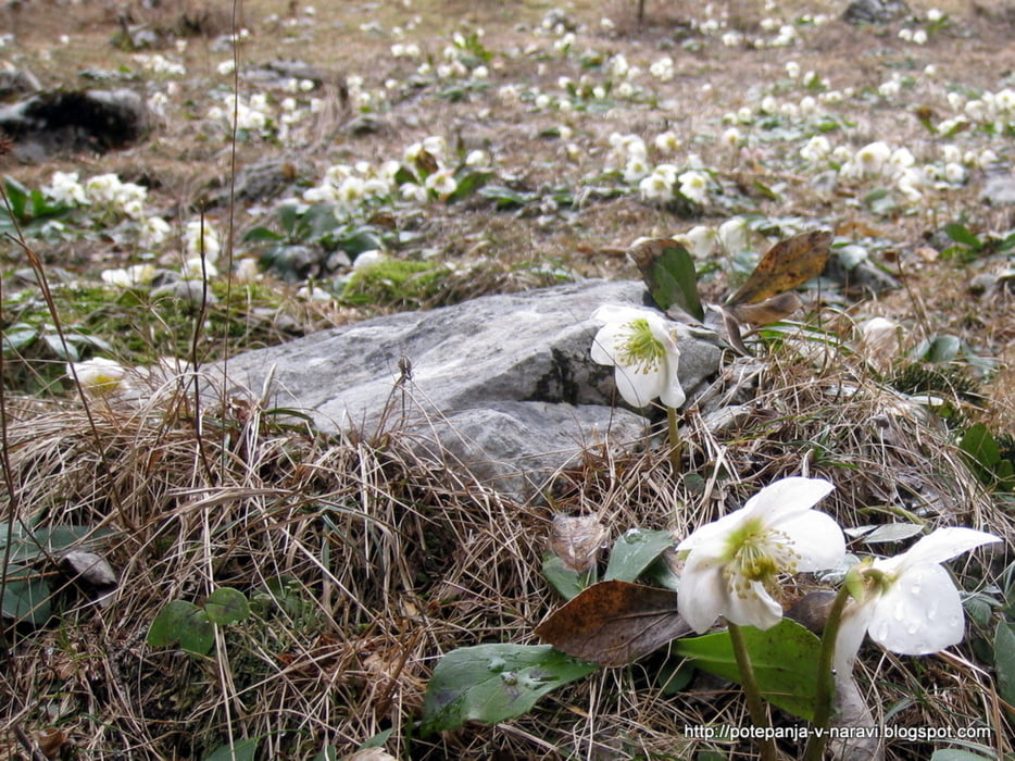
Sprehod skozi dolino Završnice od Završniškega jezera do Tinčkove koče, od tam po markirani stezi do Valvasorjevega doma pod Stolom in nazaj k Završniškemu jezeru.

Further information at

http://potepanja-v-naravi.blogspot.com/2010/04/zavrsnica-valvasorjev-dom.html

Tour gallery

Tour map and elevation profile

  • Open Street Map
  • Google
Minimum height 596 m Maximum height 1246 m Detailed view

More about the tour author

ExAmigan
Member since 2009

Send private message

Comments

S stare magistralke med Žirovnico in Jesenicami zavijemo v Moste in nato v prvem križišču levo v dolino Završnice do parkirišča pri Završniškem jezeru.

GPS tracks

Trackpoints
  • GPX / Garmin Map Source (gpx) download
  • TCX / Garmin Training Center® (tcx) download
  • CRS / Garmin Training Center® (crs) download
  • Google Earth (kml) download
  • G7ToWin (g7t) download
  • TTQV (trk) download
  • Overlay (ovl) download
  • Fugawi (txt) download
  • Kompass (DAV) Track (tk) download
  • Track data sheet (pdf) download
  • Original file of the author (gpx) download

More about the tour author

ExAmigan
Member since 2009

Send private message
Share track
Add to my favorites
Remove from my favorites
Edit tags
My score
Rate
Track: Završnica - Valvasorjev dom
Type: Mountain hiking
Distance: 15,1 km
Evaluated on:
Duration:
Day(s)
Hour(s)
Minute(s)
Score: Landscape Fun factor Fitness Technique