


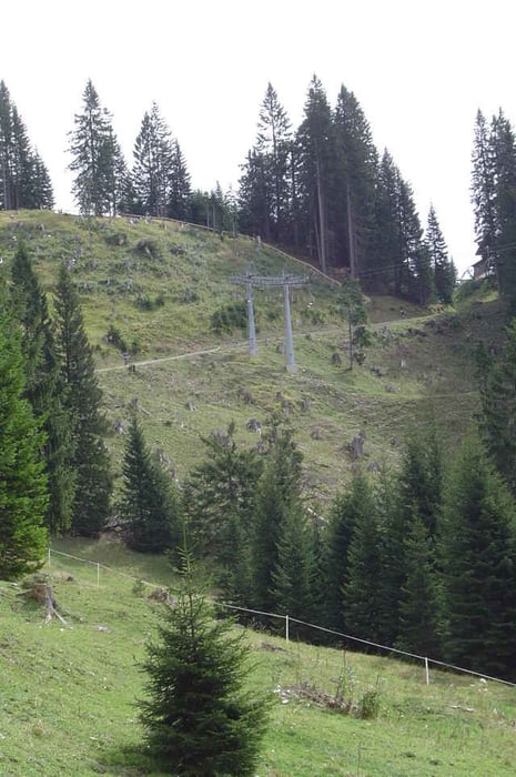
Heute verlassen wir Lermoos in Richtung Bichlbach und Berwang. Von Berwang aus geht es bergauf in Richtung Kögelehütte. Kurz vor der Hütte verlassen wir jedoch den Forstweg und rauschen über die Skipiste in Richtung Tal. Im Tal angekommen fahren wir wieder bergauf zu Hochalm. Von dort aus geht es erneut über eine Skipiste 600hm bergab ins Tal. Das steilste Stück weist hier etwa ein Gefälle von 35% auf. Einfach SENSATIONELL :o))) über den Panoramaweg geht es dann zurück nach Lermoos. Also, Helm auf, Sattel runter und nachfahren ;o) Viel Spaß dabei
Tour gallery
Tour map and elevation profile
Minimum height 982 m
Maximum height 1613 m
More about the tour author
|
|
Captain |
Comments

Gestartet sind wir in Lermoos am Sporthotel Loisach. Dieses Hotel kann ich nur jedem empfehlen.
GPS tracks
Trackpoints-
GPX / Garmin Map Source (gpx) download
-
TCX / Garmin Training Center® (tcx) download
-
CRS / Garmin Training Center® (crs) download
-
Google Earth (kml) download
-
G7ToWin (g7t) download
-
TTQV (trk) download
-
Overlay (ovl) download
-
Fugawi (txt) download
-
Kompass (DAV) Track (tk) download
-
Track data sheet (pdf) download
-
Original file of the author (gpx) download
More about the tour author
|
|
Captain |
Add to my favorites
Remove from my favorites
Edit tags
Open track
My score
Rate