Login

Forgot your login?

Cookies have to be accepted!
Your browser's cookie functionality is disabled. Please enable this functionality.

Not a member yet?

Register now
Login

Available for registred users only

Log in to use this feature.

Forgot your login?

Cookies have to be accepted!
Your browser's cookie functionality is disabled. Please enable this functionality.

Not a member yet?

Register now
Filter
Categories
Advanced filters
  • Distance (km)
  • Height
Save filters Reset filter

TrackRank

QRCode

Technical data

Distance9,1 km Height363 m Way down356 m Duration03:00 h:m Date19.09.2006
Scores Author Landscape Fun factor Fitness Technique

Statistics

1395 Views 1 Score 275 Downloads 4.00 Average
Rate
  • Track data sheet
  • Directions
  • Downloads
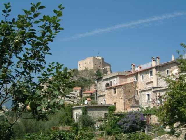
Wanderung im unberührten Tal der Neva. Die Wanderung verbindet die beiden sehenswerten Orte Zuccarello und Castelveccio di Rocca Barbena.

Tour gallery

Tour map and elevation profile

  • Open Street Map
  • Google
Minimum height 128 m Maximum height 433 m Detailed view

More about the tour author

Toaster
Member since 2005

Send private message

Comments

Genoveva on 28.04.2009

Ligurien 2009

Wir haben sind die Tour ebenfalls gewandert und fanden sie sehr schön.

LG
Geno
Genoveva on 03.05.2009

Bilder von unserer Tour

http://picasaweb.google.de/genoveva1963/Wandertour12Zuccarello#
Tom19 on 10.06.2012

schöne Tour

Hallo Zusammen,


auch diese Tour haben wir nachgewandert.
Diese Wanderung hat uns ebenfalls sehr gut gefallen.

Gruss Tom
Über Albenga nach Zuccarello

GPS tracks

Trackpoints
  • GPX / Garmin Map Source (gpx) download
  • TCX / Garmin Training Center® (tcx) download
  • CRS / Garmin Training Center® (crs) download
  • Google Earth (kml) download
  • G7ToWin (g7t) download
  • TTQV (trk) download
  • Overlay (ovl) download
  • Fugawi (txt) download
  • Kompass (DAV) Track (tk) download
  • Track data sheet (pdf) download
  • Original file of the author (gpx) download

More about the tour author

Toaster
Member since 2005

Send private message
Share track
Add to my favorites
Remove from my favorites
Edit tags
My score
Rate
Track: Neva-Tal
Type: Hiking
Distance: 9,1 km
Evaluated on:
Duration:
Day(s)
Hour(s)
Minute(s)
Score: Landscape Fun factor Fitness Technique